Country:

 City:
City:


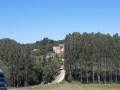
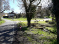
Park near the Town Hall in Saint-Séverin-d’Estissac.
(S/E) From the signpost in front of the town hall, go down the steps, cross the road and head towards Rue de l’Église.
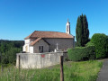
Walk down to the church, which offers a lovely view and a picnic table. Retrace your steps past the cemetery, then turn right onto Rue de Ceinture. You’ll reach a four-way junction.
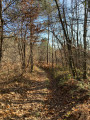
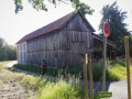
(1) Turn right, then immediately left, past the tobacco drying shed. Follow the ‘chemin de castine’ path, skirting a pond on your left. Shortly afterwards, at the next crossroads, keep left and follow the shaded path through the pine trees. At the end of the path, you’ll come to a tarmac road.
(2) Turn right onto it, cross a small stream and come to another four-way junction.
(3) Leave the road and turn left onto the DFCI, a ‘chemin de castine’. Continue along the ‘chemin de castine’, leaving the small forest path that descends to your right (three-way signpost). When you reach the junction with the ‘Brande de Guibert’ sign, carry on straight ahead. Walk alongside a fenced-off woodland, continuing straight ahead whilst leaving the small path on your left. After a short climb, past a private property on the right marked by a wooden fence, carry on until you reach the D39.
(4) Turn left onto it, taking great care with the traffic on this stretch of road. You will soon reach an X-shaped junction.
(5) Leave the D39 and turn right onto the Route des Peyrieras. Pass a telecoms mast and you’ll reach the entrance to the hamlet of Le Nègre.
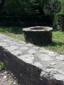
(6) Leave this charming hamlet on your right and follow the road to the left. Head down the tarmac road until you reach the Stop sign. Turn right, following a low stone wall with a well on your right.
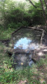
Cross the Ruisseau de la Crempsoulie, then tackle the steep climb up the C13 towards Saint-Séverin-d’Estissac before returning to the car park near the town hall (S/E).

 Tourist office

 Moderate
  Visorando Member