


 Country:

 City:
City:


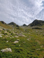
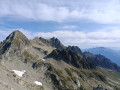
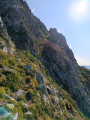
Access via the Maurienne and the Route du Col du Glandon. On the climb up to the pass, head towards Le Premier Villard on the right; on leaving the village, turn right onto the Route Forestière du Bois du Nant, then onto the Route Forestière de l’Échaut. Park at the last hairpin bend before the gate, near the water intake.
(S/E) Go through the gate and follow the track uphill to the second junction.
(1) Leave the track and take the path on the right, passing close to the ruins of the Chalets de la Loze.
(2) Leave the path to the Col de Montfossé on your left, which passes between the Chalets de la Vieille Route. Continue straight ahead.
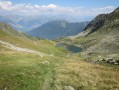
(3) At Plan des Sources, leave the Col de la Lavoire path – your return route – on your right, and climb straight ahead to the Col du Merlet.
(4) At the pass, take the chamois track on the right which moves away from the ridge and goes round Mont Vimou, then reach a small pass.
(5) Follow an easy, almost level track down the western slope to reach a small rocky couloir that climbs diagonally. This leads to another small pass which opens out opposite the grassy ledge providing access to the final slopes.
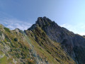
(6) Cross over and make your way along the ledge, then continue traversing upwards. When the track seems to come to an end, head left and, via steep slopes, reach the summit. From the summit, there is a magnificent view of the Pointe du Bacheux, the Clocher and the Pic du Frêne.
(7) Begin the descent towards the west to avoid the steepest slopes. A sweeping arc takes you back onto the ascent route. Continue to the small pass.
(5) Cut across the slope to the left, choosing the best off-trail route to join the Col de la Lavoire path.
(8) Turn right and rejoin the path you took on the way up.
(3) Head left and return via the same route in the opposite direction to the outward journey, visit the Pierre à Cupules further down near the Torrent du Merlet and head back to the car park (S/E).
 Visorando Member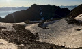

 Moderate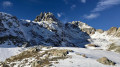
 Difficult
 Easy
Easy 
