Country:

 City:
City:


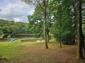
Park at the entrance to the Domaine de la Patte d’Oie.
(S/E) With your back to the car park, head towards a road.
(1) Turn left onto it towards the sawmill, cross the D72 carefully and carry on to the junction that comes up shortly afterwards.
(2) At the end of the pasture, turn onto the path that climbs to the right, makes a circular turn to the left and joins a road.
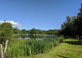
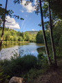
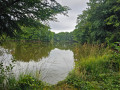
(3) Leave the tarmac road and take the path that goes down to the right and leads to a pond.
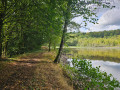
(4) Turn right onto the path that runs along the left-hand side of the pond. Just after the pond, take the path on the right, which joins a forest track.
(5) Follow it to the right until you reach a tarmac road.
(6) Turn right onto this road, which leads to the D72.
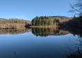
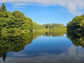
(7) Cross it carefully, then continue straight ahead along a road for 100 m. Turn right onto a road that goes round the Étang de la Marcelle.
(8) Before you reach the farm, leave the tarmac road and take a small path on the right, following it back to the starting point.
(1) Turn left towards the car park (S/E).


 Tourism professional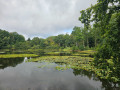

 Moderate
  Visorando Member
 Tourist office