Country:

 City:
City:



Park at the entrance to the Domaine de la Patte d’Oie.
(S/E) Turn left as you leave the estate, then cross the road carefully to walk alongside the sawmill.
(1) Turn left onto the path at the end of the buildings and enter the forest.
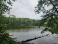
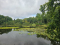
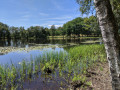
(2) As you come out of the forest, take the small road on the right for a few metres, then follow the path on the left. You’ll reach the first pond.
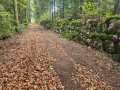
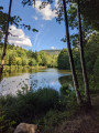
(3) Take the path on the left, then follow the forest track which passes a second pond and leads to the D72.
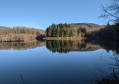
(4) Cross it carefully and take the path on the left, almost directly opposite. Walk up to the Étang de Corbenay and pass between the two houses facing each other.
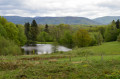
(5) Take the small path on the right through the pastures, bordered by fences. Walk along the right-hand side of Étang de la Doye, then turn left along the fence to return to the forest track. Pass the entrance to the property on your left, walk for about a hundred metres and turn left to follow the Sentier de la Doye.
(6) At the junction, turn right, passing a pasture on your left.
(7) Turn left, walk alongside a second pasture and come out onto the D97.
(8) Cross the D97 carefully to take the small road opposite and walk alongside Étang Piley. Turn left at the junction.
(9) Take the path on the right which goes uphill. Turn left at the first junction and keep left at the next one to return to the car park (S/E).
 Visorando Member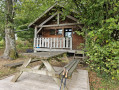

 Tourist office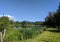

 Moderate