Country:
 City:
City:


Start from the Calvary car park on Rue de la Source (for sat-navs, enter Mont-Saint-Éloi, Rue de la Source).
(S/E) Walk up Rue de la Source towards the Calvary, then turn left onto Chemin des Normands. Continue straight on until you reach the bridge under the railway line.
(1) Just after the bridge, turn left and follow this small road to Bray, arriving at the end of Chemin du Calvaire.
(2) Turn right onto Rue de l’École and continue straight on along the dirt track after the railway line. You’ll come to a Fork in the road (elevation 89).
(3) Turn left, then carry on straight ahead. Cross the D56 with care and continue to the path on the right.
(4) Take this path; at the end, keep left onto Rue du Mont César, and carry on straight ahead to cross the railway line.
(5) Keep going straight on, pass the town hall, then head across the road to Rue François Lemaitre. Carry on until you reach a footpath on the right.
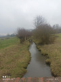
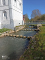
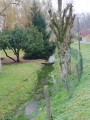
(6) Turn right, then immediately left, and take the second right. Carry on straight ahead, and when you reach the River Scarpe, head upstream and cross the metal bridge.
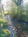
(7) Turn left and carry on to the end, following the river.
(8) Keep to the right onto Rue de la Source and continue straight on until you reach Rue de la Marlière.
(9) Turn left and, at the end, first turn right then left onto Rue du Four, continuing to its end at Rue Notre-Dame.
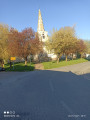
(10) Turn right onto it; at the end, first turn left then right onto the path running alongside the church, which leads to Rue Neuve.
(11) Turn left; at the end, veer right onto Rue des Rossignols, and continue straight on until the Fork in the road leading out of town.
(12) Turn right onto Chemin du Bois, turn left and continue straight on until you reach the edge of the woods. Carry on until you reach the path on the left.
(13) Take this path, then turn right onto Rue de Maroeuil and continue straight on until you reach the second Fork in the road.
(14) Keep going straight ahead and turn left after the cemetery to reach the car park (S/E).


 Association / Club / Walk leader

 Easy
Easy 
 Visorando Member