


 Country:

 City:
City:


Access: from the Col du Calvaire, continue to the car park at the Auberge du Blancrupt.
Blue Ring signposting
(S/E) From the car park, head towards the Auberge du Blancrupt (do not walk past it) and turn immediately right onto the grassy path running alongside a house, following the signs for “Digue du Lac Blanc” (Blue Ring markings).
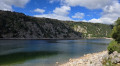
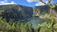
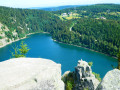
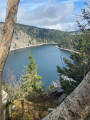
(1) Join a wide, tree-lined path on the left (Blue Ring) and follow it to the lake’s embankment. Just before the first sharp bend to the left, the first views of the lake appear through the trees. Continue until you reach a fork in the path.
(2) Turn right. The gentle, easy descent continues to the Lac Blanc dam.
(3) At the lake’s dam and the car park, head down the road to the left for about a hundred metres.
(4) Turn left, past the restaurant’s terraces, and continue down the Blue Ring forest track to Le Bocheney.
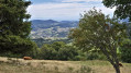
(5) Turn left onto the small tarmac road which climbs and takes you back, over a distance of one kilometre, to the car park at the Auberge du Blancrupt (S/E). Along the way, there are some lovely views over the Alsace plain.
 Visorando Member
 Moderate
 Tourism professional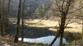
 Difficult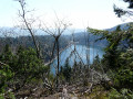
 Very difficult
