Country:

 City:
City:


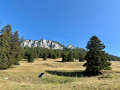
Park in a free, stony car park. ‘Sur le Tour’, Route du Col de l’Aiguillon.
(S/E) Take the road downhill (Col de l’Aiguillon) towards Grange Neuve. Take care until you reach the “Les Praz” junction. It’s about 1.5 km along the road. Carry on straight ahead towards “Les Naz”.
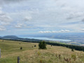
(1) At the junction, leave the road and head up the path on the left. Pass beneath the Crébillons farm, then at the hamlet of Les Naz, head towards Baulmes on the right, across the field, until you reach the road. There is a superb view of Lake Neuchâtel.
(2) Head up the road on your left to join the forest track. The signposting is clear. Then look out for a path leading downhill towards Baulmes. Continue along this downhill path until you reach the road. Cross it carefully and continue along this path until you reach the next road.
(3) Cross the road carefully and head down to the right to rejoin the path on the left. Stay on this main path. Take care at junctions and continue a little further along the path leading uphill to the left until you reach a crossroads.
(4) Continue along the path on the right for a short while, then take the path leading uphill on the left and follow the signposts. At the next sign, take the path leading uphill with wooden steps. There are several viewpoints along the way up (unsecured).
(5) Continue along the path on the left towards Mont de Baulmes. Then, at the crossroads, turn sharp right and continue straight ahead along the path to reach Mont de Baulmes. The signposting is clear.
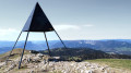
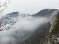
(6) Carry on straight ahead to reach the ridges of Mont de Baulmes. There are several viewpoints along the way – these are also unguarded – as you head back and forth to the left. Walk to the orientation table. Then continue along the ridges towards the Aiguilles de Baulmes.
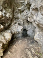
(7) You can take a round trip to the Cave Noire cave. Then continue along the ridges, passing several unsecured viewpoints. At the signpost, carry on straight ahead to reach the summit of the Aiguilles de Baulmes and its cross, which offers a magnificent panorama.
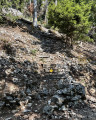
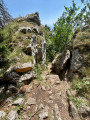
(8) Take the path leading down to the right, classified as difficult, towards the Col de l’Aiguillon. At the signpost, take the path on the left towards Jougne.
(9) Look out for a path on the right which descends through the forest to the car park (S/E).
 Visorando Member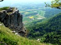
 Average
 Very difficult