Country:

 City:
City:


Car park in front of the town hall in Bonnevaux-le-Prieuré. Yellow and blue markings; some sections are unmarked.
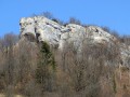
(S/E) Set off along the dead-end road to the left, facing the town hall. Walk past the signpost, heading towards ‘Rocher du Tourbillon’. About a hundred metres further on, near an orchard, leave the road and head down to the left along the lovely forest track, towards ‘Bonnevaux-du-Bas’. Continue past a hairpin bend (about sixty metres) and look out for the path that winds down the wooded hillside to the far right, at the signpost marked ‘Sous la Côte’.
(1) Join the D280 road at a bend, follow it to the right and carry on to the next bend. Continue along the path that climbs to the left until you reach the fork.
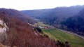
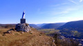
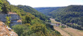
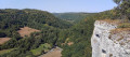
(2) Turn left towards the Rocher du Tourbillon. After a wooden gate, you’ll come to the first viewpoint overlooking the lower and upper reaches of the Brême valley. Carry on to the end of the promontory for the second viewpoint, looking out over the upper valley and the Plaisir-Fontaine ravine.
(3) Turn back to the previous fork in the path.
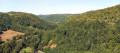
(2) Head left, staying on this lovely, well-marked path, whilst keeping the paths on your right. You’ll soon be walking along the slope of a beautiful, light-filled forest and reach the pastures at a stony track.
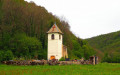
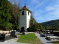
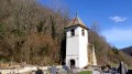
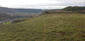
(4) Head up to the right along this track. When it turns into a tarmac road at the fork, carry on straight down towards the village. There’s a view of the Jura hills, Mont Mahoux and Mont Poupet. At the stop sign, carry on straight ahead. Turn right at the roundabout, walk past Saint-Marcellin Church (it was open) and head towards the town hall. (S/E)

 Visorando Member
 Moderate