Country:
 City:
City:



Start from the car park at Duisans Church (note: local market on Wednesdays from 2 pm to 7 pm).
(S/E) With your back to the church, turn right and continue along this road, taking care, until you reach the cemetery.
(1) Turn left onto the path just before the cemetery entrance and continue to the Route de Saint-Pol; cross it with great care.
(2) Go straight on along Rue du Pont de Gy to the end, then continue along Rue Adolphe Caron.
(3) At the junction, turn left onto Rue du Mont César. At the top of Mont César, take the path on the right and, at the end, turn right until you reach a four-way junction, to return to the starting point (3).
(3) Turn left, then left and right.
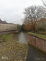
(4) Take this street on the right and, at the end, turn left and continue straight on. Cross the River Scarpe.
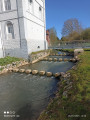
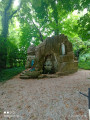
(5) Turn right onto this street, continue for 150 metres, then turn right onto Rue de la Source. Pass the flour mill and the Source Sainte-Bertille, and arrive near a bridge and a marsh.
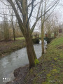
(6) Turn left onto the path running alongside the Scarpe on your right, and carry on straight ahead. At the end, turn right onto Route de Maroeuil, until you reach Rue de la Scarpe.
(7) Follow it to the right. Cross the Scarpe, pass the mill and continue straight on until you reach the Clos de Louez estate.
(8) Turn right and enter the estate. Continue to the right, then take the first right, Rue de la Cavée d’Hugy, until you reach Impasse du Gy.
(9) Follow this road to the right, then turn right again, passing the trout farms, until you reach Chemin des Aulnes.
(10) Turn left to return to Rue du Pont de Gy. Turn left onto it, until you reach Route de Saint-Pol.
(2) Cross the road with great care, head straight across and continue along the dirt track. At the end, take the road on the left, taking care. Continue to Rue du Carloy.
(11) Turn right, then left onto Rue de la Croix, and head for the car park (S/E).
 Association / Club / Walk leader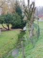
 Easy
Easy 

 Visorando Member