Country:

 City:
City:


Start from the car park at the village hall, Rue de Vaudricourt.
(S/E) Head due south to reach Rue Jean Jaurès. Cross the road and head straight ahead. At the end, take the path on the right.
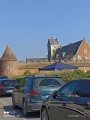
(1) Continue straight on at the junction, then, before the church, turn left and cross an old cemetery. Walk past the church and turn left onto Rue des Charitables for 100 m.
(2) At the Fork in the road, turn right, then cross Rue de la Libération (D841) and continue straight on until you reach the corner by the nursery school.
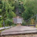
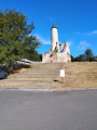
(3) Leave the return route on your left and carry on to the steps leading up to the castle. Turn right, then at the end turn left and carry on straight ahead.
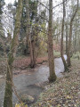
(4) First turn left then right onto Rue Pierre Brossolette. Before the bend, take the path on the right and continue on the left, following the Lawe.
(5) Turn right, cross the bridge and turn right again. Carry on straight ahead, following the Lawe.
(6) At the junction after the second bridge, turn left. At the end, take the first turn left then right and carry on straight ahead.
(7) Turn left at the junction, then, at the Y-junction, turn right, and further on, stay on the left-hand path.
(8) Turn right at the Fork in the road, then first turn right then left and carry on straight ahead.
(9) Take the second path on the left. Then take the first track on the left. At the end, make the first turn right then left, then stay on the path on the left.
(10) Turn right at the junction, carry on straight ahead, cross Rue du Chemin des Dames and take the path on the right to reach the bridge and the junction you passed on the way out.
(5) Turn right; at the end, take the first turn right then left and, at the Y-junction, turn left twice. At the end, turn right.
(11) Take the steps on the left and carry on straight ahead, passing behind the velodrome. When you reach the fork by the nursery school that you passed on the way out, turn right, cross Rue de la Libération (D841), and join Rue des Charitables.
(2) Follow it to the left and retrace your steps along the path you took on the way out to reach the original junction in the woods.
(1) First turn right then left, and stay on the left-hand path to return to the starting point (S/E).
 Association / Club / Walk leader

 Visorando Member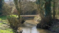
 Difficult
 Easy
Easy