Country:

 City:
City:



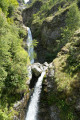
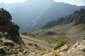
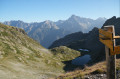
(S) Please note: this section is off-trail. It takes between 5 and 10 minutes, presents no technical difficulties, but requires a good sense of direction (GPS app recommended).
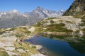
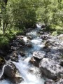
From the Lower Lake of Sebeyras, rejoin the main path. To do this, follow the stream (see photo), heading south, and climb the stony hillock. At the Upper Lake, change direction towards the west to head for the GRP® path on the right, located in a false pass.
(1) Take the GRP® Tour du Vieux Chaillol path on the left (marked in yellow and red) towards the Col de Pétarel.
(2) At the Col de Pétarel, leave the GRP® and take the path on the left towards La Chapelle-en-Valgaudémar via the Col de la Béranne (markings faded).
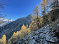
The path is barely visible (see photo): it starts on the ridge and then continues on the right-hand bank along a gently rising, seemingly level stretch. After the Col de la Béranne, begin a long descent (~1,100 m of elevation loss) towards the valley floor.
(3) At the very bottom of the valley, near the stream, take the path on the right towards L’Aup and continue along a gently ascending stretch.
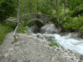
(4) At the next junction, change direction and take the path on the left towards Navette, cross the stream via a bridge and continue through the forest. The next fork is at the foot of the Buchardet waterfall.
(5) From there, take a short detour to the right to get a closer look (5 minutes; ~150 m away). Then resume the route opposite, heading towards Navette.
(6) Once you reach the hamlet of Navette (a single house with a fountain), head towards Le Chapeau on the right. Pass to the right of the chapel, then continue along the path, heading east. The climb is long (~760 m elevation gain to the finish).
(7) At the next signposted junction, near the Cascade de la Buffe stream, leave the original path and take the path on the right (south), following the signs for ‘Le Chapeau’; the path climbs more steeply and becomes less visible.
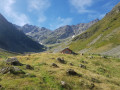
(8) Cross an old, narrow stream channel (see photo); there are no particular difficulties, but take care in wet weather. Some tall grass may obscure the path towards the end of the route, but the route remains traceable (the path veers eastwards). At the end of the hairpin bends, which have become sandier, you’ll reach a grassy plateau; the landscape opens up to reveal a spring and a shepherd’s hut at the Prés de Lauplat (E).
 Visorando Member
 Very difficult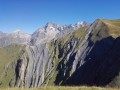
 Easy
Easy 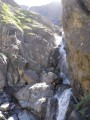
 Moderate