Country:

 City:
City:


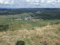
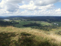
Starts from the car park at the junction of the D18 and theD46E1, between the villages of Bellefontaine and La Chapelle-des-Bois.
GR® or PR® signposting
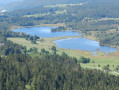
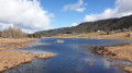
(S/E) From the car park, take the path that descends through fields and leads to the peat bog. Walk across the wooden walkways and follow the Lac des Mortes. You can get closer to the lakeshore at several points. Then cross the footbridge between the two lakes – which marks the administrative boundary between the departments of Doubs and Jura – and climb up the opposite slope to a track suitable for vehicles.
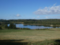
(1) Turn right and follow this track, which overlooks Lac de Bellefontaine. After passing through a wooded section, join the next path on the left, which starts between two meadows.
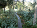
(2) Follow this path, which climbs gradually through the undergrowth before turning into a footpath. Continue to the fork on the ridge.
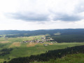
(3) Continue to the left until you reach the Roche Bernard viewpoint.
(4) From the viewpoint, ignore the path along the ridge – which is now closed – and take the forest track that heads off to the right, running almost level. Go round the hillock on your left and, after a rather steep descent, you’ll reach a multi-way junction.
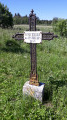
(5) Take the path opposite and follow the ridge. Pass the Monument in memory of the child smugglers at the Gît de l’Échelle and reach the junction by the viewpoint a few metres further on.
(6) Make a quick round trip to the viewpoint and continue along the path. After a series of short ascents and descents, reach the Roche Champion, keeping to the left at the various junctions.
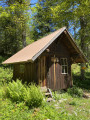
(7) Continue along the path that runs along the ridge, then begin the descent to a clearing where the slope levels off. Turn left onto the grassy path leading to a building on your right.
(8) Carry on to the left and join the tarmac road.
(9) Take the small road on the right down to the bottom of the slope.
(10) Turn onto the grassy path on the left. Walk alongside the peat bog on your right until you reach a track suitable for vehicles.
(11) Carry on straight ahead, go round a bend to the right and find a grassy path on the left, a few metres before the right-hand bend.
(12) Take the path that runs through the meadows and, at the top of the slope, makes a 90° turn to the right and then to the left, about 200 m further on.
(13) At the road, continue to the left until you rejoin the route you took at the start.
(1) Turn right towards the lakes and follow the route in reverse until you reach the D18 (S/E).
 Visorando Member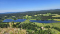
 Easy
Easy