Country:

 City:
City:


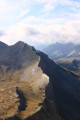
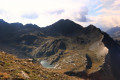
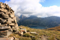
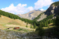
Please note that this route takes you off the marked trails and you are unlikely to come across other walkers.
On this route, you’ll only get mobile phone reception when you’re on the Valplane ridge. It’s advisable to wear sturdy footwear and carry walking poles, as the terrain is steep and there’s no marked path.
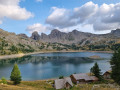
(S) From the Lac d’Allos refuge, take the path towards the Laus car park
(1) At the first junction, turn left towards the Col de l’Encombrette; the path climbs slightly.
(2) Leave the path and choose your own route, heading slightly east of the Tête de Valplane.
(3) Once you reach the ridge, turn right, heading west towards the highest point, the Tête de Valplane. There is a large cairn about two metres high.
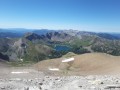
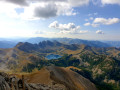
(4) Tête de Valplane: magnificent panoramic views. Continue along the ridge westwards to the Baisse de Valplane.
(5) Leave the ridge on the right, heading north, to descend into the Valplane cirque and reach the well-hidden shepherd’s hut; you can only see it once you’re close by.
(6) Leave the shepherd’s hut on your left and continue along the left bank of the torrent. Shortly afterwards, a path begins to emerge and leads into the woodland. Join the signposted path.
(7) Turn right (east) to reach the Cluite car park (S/E).

 Tourist office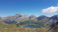
 Difficult
 Easy
Easy  Visorando Member