Country:

 City:
City:


From La Clusaz, head towards the Col des Aravis. Take a road on the left towards Crêt du Merle, where there is a car park. At the car park, a signpost points you in the direction of the Aiguille du Calvaire and the Porte des Aravis.
(S/E) Take the track on the right for about 200 m (signposted).
(1) Continue straight on along the forest track, passing under the chairlifts.
(2) At a fork, leave the track and take a gently descending path to the left. The path runs through the Bois de la Motte. Pass two path junctions on the left and continue uphill to the right. You’ll reach the edge of the woods at a place called Passage aux Veaux, a crossroads of tracks.
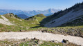
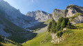
(3) Turn left onto a gently sloping path, and after 100 m, veer right onto a trail. This trail climbs steadily and gently up to the Chalet de la Creuse, the end of the signposted route.
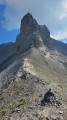
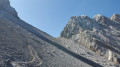
(4) From there, follow a track that descends slightly into the valley before climbing steeply; you are now on a ‘mountain-style’ ascent. Follow the trail marked by cairns as best you can, roughly in the middle of the valley. Go round or across the remaining snowfields as best you can (crampons may be useful). Towards the end of the ascent, the track veers off to the left and the path becomes very steep and smooth towards the finish.
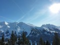
(5) Porte des Aravis, the highest point of the hike, with views of the Mont Blanc massif and La Giettaz. Return via the same route in the opposite direction. Take care, as the descent can be tricky.
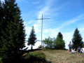
(4) At the signpost for the Chalet de la Creuse, there is a short climb to the left up to the chalet and the cross.
(6) Retrace your steps.
(4) Turn left and head back to the car park via the reverse route of the ascent (S/E).
 Visorando Member
 Moderate
 Difficult
 Easy
Easy