You are in the Mercantour National Park; there are regulations to be observed, and failure to do so may result in a fine of up to €1,500 – please see the practical information section.


 Country:

 City:
City:


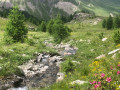
The car park is situated along the M64 below the hamlet of Bousiéyas
(S/E) Head towards the north-eastern part of the car park whereGR®5marker 43 is located. Take the descending track suitable for vehicles. Follow theGR®5signposting towards Col de la Colombière. You will reach a crossroads of tracks at marker 44a.
(1) There is a sheepfold on the left. Continue straight on towards Col de la Colombière and reach the pass at marker 47.
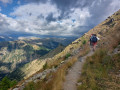
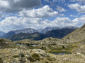
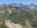
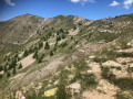
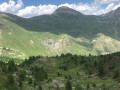
(2) Turn right onto the mountain-side path, signpostedGR®56. The path climbs gradually. Below lies the valley of Saint-Dalmas-le-Selvage. The Crête de Rougne gives way to the Crête de la Blanche, which is less exposed to the wind. There are a series of panoramic views of the Bonette massif and Saint-Dalmas-le-Selvage. Reach marker 46 at the Col de l’Alpe.
(3) Continue along this path towards the Col de Colombart and reach the pass at marker 45.
(4) At this junction of tracks, the last point above 2,500 m, turn right onto the descending path. This takes you off the red and white markings ofthe GR®56and leads you down to the stream.
(5) Continue along thisGR®52path, which leads to marker 44a at point (1), then return to Bousiéyas via the reverse route of the outward journey to the car park (S/E).


 Visorando Member
 Very difficult
 Moderate