Country:

 City:
City:


(S/E) At Vallorcine station, take the train towards Martigny. Cross the Swiss border.
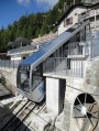
(1) Get off the train at Le Châtelard station. Walk behind the power station to catch the first funicular. An impressive climb with a gradient of 87 per cent; lovely views of the Mont Blanc massif.
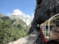
(2) Take the small, very narrow-gauge railway (built for the construction of the first Barberine Dam in 1920), which winds its way up the mountainside and passes through several tunnels. At the terminus, a final mini-funicular takes you above the dam, the starting point for the walk.
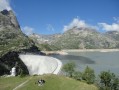
(3) Follow the signposts towards the “Empreintes”. Head down towards the dam, then cross it; the views are impressive. Take the track, which climbs very gently.
There are several possible routes to reach the ‘Empreintes’. I suggest the shortest route, though it is the steepest.
Ignore the first path leading uphill to the left (signposted ‘Col du Passet’, ‘Chalets de la Loriaz’).
(4) Take the next path on the left, which climbs steeply up the Gorge de la Veudale. Excellent signposting: red on a white background. A fairly long and steep climb.
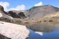
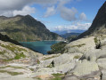
(5) After a pass, you’ll catch sight of the upper reservoir lake (Vieux Émosson). Continue along the same path, which is fairly flat.
(6) At a crossroads, ignore the path leading up to the Col de la Terrasse and follow the ‘Empreintes’ signpost downwards. Descend 200 metres, continuing to follow the ‘Empreintes’ signpost.
(7) Émosson dinosaur footprints. Four or five slabs lie in succession to the left of the path. You can clearly see the footprints, as well as the ripples in the sand created by the waves. These are the tracks of archosaurs, dating back 10 million years before the first true dinosaurs.
Turn back. Walk back up to the previous crossroads.
(6) Turn right towards Col de la Terrasse. Marked by red dots and cairns.
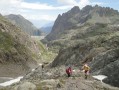
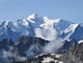
(8) Col de la Terrasse; French border. Stunning views over the Vallorcine valley, the Tour and Argentier glaciers, and Mont Blanc and its peaks.
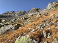
The descent is very steep and dangerous for the first few metres. Put your walking poles away in your rucksack (they’ll get in the way more than anything else) and take care not to dislodge any stones, which could fall on hikers below. Follow the markings of large Yellow Circles closely; Yellow Crosses indicate dangerous sections that must be avoided at all costs. Fortunately, this doesn’t last very long. However, the descent down the scree slope is long and arduous. Follow the route carefully as it veers to the right, marked by Yellow Circles. Reach the Chalets de la Loriaz.
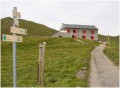
(9) Continue on to reach the Croix de la Loriaz, where you have two options:
- towards Vallorcine Chef-Lieu on the left,
- towards Le Couteray on the right.
(10) Turn left to reach Vallorcine station (S/E) and follow the signposts.

 Visorando Member
 Moderate
 Very difficult