Country:

 City:
City:


Start from the station.
(S/E) Follow theGRT®68towards the far end of the village, cross over the EDF penstock, then turn right, walking parallel to the N20 towards the hikers’ car park. ‘The route shown on the IGN map is incorrect at this point’.
Pass under this busy road. The path, made of boulders and about 100 metres long, was built to avoid crossing the road. Join the old path.
(1) Continue to the right on theGRT®68, which climbs straight into the woods. Reach the small stone bridge over the Ruisseau du Siscar
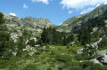
(2) Turn right and follow theGRT®68towards the Étang de Pédourrés. The path follows the Ruisseau du Val d’Arques upstream, though at times it runs some distance away from the stream.
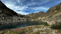
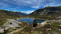
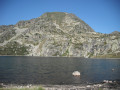
(3) At the Étang de Pédourrés, do not cross the stream but continue along theGRT®68, which heads up to the right of the lake, heading north-west.
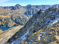
(4) Follow theGRT®68, which branches off to the right and climbs again, then descends via the Couillade de Pédourrés. The path then climbs again and becomes rockier. Further on, it turns westwards and reaches the Étang de Couart on almost level ground.
(5) Follow the route in the opposite direction to return to the station (S/E).



 Visorando Member
 Very difficult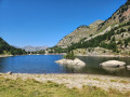
 Moderate