Country:

 City:
City:


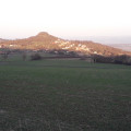
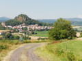
Coming from Solignat, the start is at the entrance to the village of Vodable. To reach it, take a road on the left leading up to the village via the D32. There you will find a lay-by serving as a car park near a cross. At the start, the route forms a circular route through Vodable before skirting the volcano on which the village is built.
Yellow-red markings (GRP® “Autour d’Issoire”)
(S/E) With the cross on your left, go through the village gate. At the Fork in the road, keep left onto Place du Marchidial. Ignore the first road on the right.
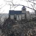
(1) Take the second street on the right (Rue du Rocher). At the crossroads, turn right to go round the church and head west.
(2) Leave the village via the Chemin de Panassat, following roughly the contour lines around the volcano through woodland, heading due south. Pass a path on your right.
(3) At the Fork in the road, turn right then left to join a tarmac road leading downhill which opens out onto Rue de la Liberté. Follow it until you come to a crossroads. Pass a road on your left.
(4) Continue downhill along Rue Gauthier de Biauzat. Pass the first junction (D124).
(5) At the Fork in the road, keep to the right until you reach the road leading to Colamine. At the cross, you can take the path opposite leading to the cemetery and the church at Colamine, but access is usually blocked by a metal gate. Resume the route along the small road uphill running alongside the church at Colamine until you reach the Fork in the road at Violle Basse.
(6) Take the right-hand path uphill leading to La Violle Haute. The road ends at a second Fork in the road, giving way to two paths. Take the one on the left and cross the Ruisseau de Mazerat. The path curves to the left before meeting a cross-path.
(7) Turn right at the crossroads, then veer right at the next Fork in the road, and continue to the D32, which you should join on the left with caution.
(8) Turn right onto the first track after 300 metres. Ignore the various side tracks and continue uphill to a crossroads.
(9) At the crossroads, carry on along the small road to the left which leads to the village of Dauzat. The route takes a right-angled bend to the left before reaching Dauzat church, the end point of the walk.
No signposting
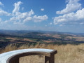
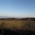
(10) Enjoy the view over the Couty Valley near the church at Dauzat-sur-Vodable. Then retrace your steps back to the crossroads.
Yellow-red signposting (GRP® “Autour d’Issoire”)
(9) Turn left to start the return journey downhill towards Vodable, where there is a fork in the road. The route takes a right-angle bend to the right, then to the left.
No signposting
(11) At the fork in the road, leave theGRP® by taking the right-hand track. This joins a wide path as it veers to the right. The path bends to the right. Take the wide path on the left, about a hundred metres after the bend (elevation 838), and continue downhill until you reach a fork in the road.
(12) Take the path on the left and continue downhill, ignoring the cross-path, until you reach the tarmac. Continue downhill to a cross street. Turn left, then keep to the right at the Fork in the road to return to the starting point (S/E).


 A lovely walk with stunning views; it was a sunny day and we made the most of this beautiful route
 Visorando Member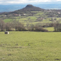

 Easy
Easy