Country:
 City:
City:


(S) Leave the station, go down the stairs directly opposite and turn left. At the junction, turn left to go under the railway bridge and continue to the junction with the Route de Marseille (D10). Turn left, cross at the pedestrian crossing and go down the stairs leading to Rue Maurice Laballette. Follow this street to the end and turn right. At the junction where the media library is located, carry straight on to reach another junction immediately, facing two streets separated by a wall, with the street on the left lying below the one on the right.
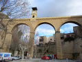
(1) Take the street on the left: a sign points towards the Town Hall and the Tourist Office. A few dozen metres further on, at the three-way junction, turn left onto Avenue Pasteur. At the Town Hall, carry straight on along Rue Gambetta towards the Pont de l’Horloge, which you can see. Go under this bridge and cross Place de la République.
(2) Turn right into Rue Auguste Fabre. After the left-hand bend, take the first right, go round the roundabout on the right and carry on until you reach the entrance to the Parc de la Poudrerie.
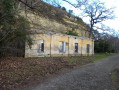
(3) Carry on straight ahead, following the edge of the cliff, pass the gunpowder drying shed, then follow the path as it curves to the right until you reach a junction where a sign points to the right towards Chemin Rolande: be careful not to confuse this with the other end of the path, which you saw shortly after the gunpowder drying shed.
(4) Turn left, then turn right a few dozen metres further on to follow the Chemin de la Pentrite, towards the Grande Halle.
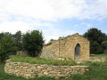
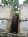
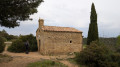
(5) Just after the Grande Halle, take the path on the left that leads uphill: a sign points to the Portail des Oliviers. Walk past the chapel, turn left onto the path and follow it until you reach the Portail des Pins, which is always closed.
(6) Continue along the tarmac path until you reach an information board about dry vegetation. Turn right onto the dirt track that climbs and follows the fence until you reach the Portail des Oliviers.
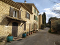
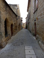
(7) Leave the park and turn right onto the path that runs along the outside of the fence. When you reach the road, go up the wooden steps opposite and then follow the road you have joined via these steps. This road ends at the cemetery, but you can carry on straight ahead, following the bends in the road, until you reach Place Castagne. Cross the square and take the steps, then turn onto Rue Frédéric Mistral. Follow this road through the village, turn left at Place du Château, then left again onto Rue Mireille.
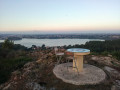
(8) Turn right onto the Escalier des Soupirs. At the bottom of the steps, turn right and follow the street to the Croix du Jubilé. Just before you reach it, turn left onto the path leading downhill and join the junction with the Étang de Berre discovery trail: a sign points towards Miramas town centre, 50 mins away. Turn right and follow the trail.
(9) When the path joins a wider track, follow it in the same direction.
(10) Cross the Chemin du Coteau de Sainte-Croix, then the small bridge over the Chemin de l’Étang, and join the Miramas Greenway. Continue straight on, passing the Cité Garouvin blocks on your right, go under the railway line and emerge onto Avenue Jean Moulin.
(11) Turn left and follow the avenue to Place Jean Jaurès and its roundabout. Turn right, cross at the pedestrian crossing to reach Miramas station, which is on your left (S/E).


 Visorando Member
 Moderate