Country:

 City:
City:


(S) Park near the SNCF station, walk up the main road for about a hundred metres towards Southern Andorra, and cross a small bridge, then another, over the Ariège.
(1) Once you’ve spotted theGR® 10, follow it westwards. Stay on theGR® 10almost all the way to the Étang de Comte. The climb through the woodland is very steep at first, then the gradient eases off until you reach the first junction, where theGR® 10continues to the right.
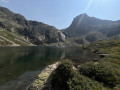
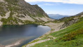
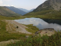
(2) Let theGR®10head off to the right as it climbs and carry on to the Étang de Comte, which is clearly visible with its many anglers; you’ll go round it on the left almost all the way to its south-western end. You’ll then reach a well-marked path.
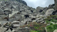
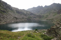
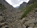
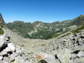
(3) Follow this path, which winds through the vegetation and climbs gently, heading south-west then west; the vegetation gradually gives way to a wilder landscape until you reach a scree slope made up of enormous granite boulders that you must cross one by one! The cairns remain clearly visible along this section, which leads you to the Étang de Couart.
(4) At the eastern end of the lake, join the GRT68, which is well marked and much easier than the previous section; follow it south-southeast to reach the Étang de Pédourrès 40 minutes later (E).


 Visorando Member
 Moderate