Country:
 City:
City:


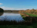
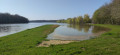

The walk starts at the car park of the Saint-Paul-de-Varax cemetery, near Étang Servisey.
(S/E) Turn right onto the D17 for about 400 m. Watch out for traffic.
(1) At the Mont-Jeangloux signpost, turn right towards Boisson. Follow this road to the hamlet of La Carronnière, then continue along the path leading past the ponds.
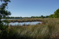
(2) At the signpost, turn right and continue along this road. On the left is the Guillet pond, which you should go round. Continue for about 500 m.
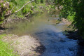
(3) At the junction (Boisson signpost), turn left towards Pelet and Étang des Bourrelières. Pass through the hamlet, continue along the dirt track and cross the Vieux Jonc via a footbridge. Carry on straight ahead along the track until you reach a tarmac road.
At the ‘Étang des Bourrelières’ signpost, turn right towards Saint-Paul-de-Varax for about 400 metres.
(4) Take the dirt track on the right. Carry on straight ahead. At the ‘Vieux Jonc’ signpost, carry on straight ahead. Cross the Vieux Jonc via the Roman bridge. At the ‘Moulin Cailloux’ signpost, turn right onto the Chemin de Véllières, then left onto the Chemin des Oliviers and head for the cemetery (S/E).

 Tourist office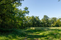

 Visorando Member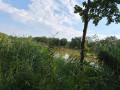
 Moderate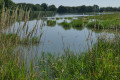

 Association / Club / Walk leader