Country:

 City:
City:


For families out walking, curious holidaymakers, and forest lovers…
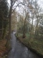
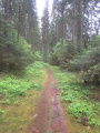
Starting from the heart of the Anlier Forest, the Forest Users’ Route takes you along the most beautiful paths and tracks to meet those who frequent the forest.
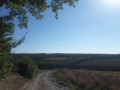
After a stop at the landscape viewing platform, you’ll discover life-size sculptures depicting forest users along this 10km route. Through information panels, they’ll tell you about their passions, their jobs and their daily lives.
Will you spot them all?
Keep an eye out for the details around you. Often subtle, there are interesting sights everywhere in the Anlier Forest!
A multifunctional forest
Amidst the old beech trees, young oak saplings, gnarled hornbeams and stocky spruce trees, it’s not uncommon to spot a logging site, hunting notices, plantation fences or signposted walking trails. A place for living, working and getting away from it all, the forest is multifunctional. Throughout the year, it serves as a shared space where its three main functions – environmental, social and economic – coexist!

 Visorando Member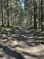
 Moderate

 Difficult