Country:
 City:


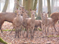
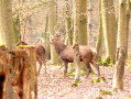
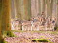
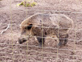
Parking and starting point at the car park of the Roumare Forest Wildlife Park, Route de Sahurs.
Magenta markings
(S/E) On leaving the car park, head right, north-west, onto the Route Forestière de la Réunion and carry on straight ahead until you reach the crossroads and the Mare de Grès forest warden’s house.
(1) Turn right and continue to the Carrefour du Chevreuil.
(2) Cross the Route aux Dames and carry on straight ahead, due north, past the forest gate, along the Route Forestière Charmante, until you reach the Carrefour du Chêne Charmant.
(3) Take the Route Forestière de la Mare du Fer on the right, heading south-east, and carry on to the T-junction, opposite the Maison Forestière de la Mare Terreuse and its car park. Turn left onto the Route de Sahurs (D351), taking great care for about 300 metres. Cross the road to get to the right-hand side, well before the left-hand bend; vehicles approach quickly and visibility is poor.
(4) Turn onto the path on your right, go through the forest gate situated beneath the power lines and follow the path.
(5) At the signpost, marked in magenta, turn left and begin the descent to the T-junction. Turn left to rejoin the tarmac road, Rue Hardel.
(6) Cross the road and continue straight ahead, following the magenta markings, then start the climb up to the first T-junction. Carry on to the left until you reach the first turn-off on the right. Turn right until you reach the road, Cavée de Dieppedalle.
(7) Turn slightly left onto the road and continue straight on until you reach the multi-way junction. Cross Route de Sahurs carefully to return to the starting point (S/E).
 Visorando Member


 Moderate
 Very difficult

 Difficult