Route around Saint-Izaire

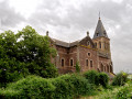
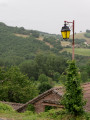
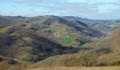
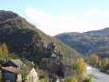
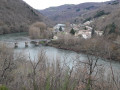
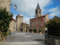
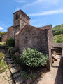
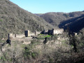
A short walk, though with some elevation gain, which will allow those looking for a gentle stroll in the morning or afternoon to discover beautiful trails, a magnificent view of the medieval village of Saint-Izaire, and a superb panorama of the Dourdou valley. The route is also suitable for mountain bikes.

Details

383000
Creation:
Last update:
Last review:
  • Walking
    Activity: Walking
  • ↔
    Distance: 1.66 mi
  • ◔
    Average duration: 1h 00 
  • ▲
    Difficulty: Easy

  • ⚐
    Back to start: Yes
  • ↗
    Ascent: + 295 ft
  • ↘
    Descent: - 295 ft

  • ▲
    Highest point: 1,161 ft
  • ▼
    Lowest point: 866 ft

Photos

Description of the walk

The route starts in front of the Auberge de la Valette, opposite the bridge over the Dourdou.

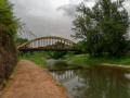
(S/E). Take Rue des Fossés towards Faveyrolles. At the junction of the departmental roads, turn right onto the D60, which is the Route de Faveyrolles. At the circular bend in the Dourdou, you’ll come to the footpath.

(1) Turn right onto it and begin a gentle climb through the woods. You’ll reach a four-way junction.

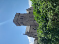
(2) Stay on the path furthest to the right. You’ll reach the village and the castle.

(3) Take Rue du Château opposite. Continue to Rue de l’Église, turn right there, then on Rue Droite take the first right to return to the starting car park (S/E).

Waypoints

  1. S/E : mi 0 - alt. 866 ft - Auberge de la Valette
  2. 1 : mi 0.64 - alt. 1,027 ft - Hiking trail on the right
  3. 2 : mi 1.26 - alt. 1,112 ft - Four-way junction
  4. 3 : mi 1.48 - alt. 958 ft - Tour of the Castle
  5. S/E : mi 1.66 - alt. 866 ft - Auberge de la Valette

Notes

Before (or after) the walk, to cool off or grab a bite to eat… there are two options in Saint Izaire:
- Le Snack du Camping (on the other side of the bridge)
- L’Auberge de la Valette (at the starting point)

Depending on the weather, make sure you bring something to protect yourself from the rain or the sun…
A good pair of trainers is sufficient.
This route can also be done by mountain bike or on horseback!

Worth a visit

Reviews and comments

3.9 / 5
Based on 4 reviews

Reliability of the description
4 / 5
Ease of following the route
3.8 / 5
Route interest
4 / 5
Claude-Meignen
Claude-Meignen

Overall rating : 4.3 / 5

Date of your route : Mar 11, 2024
Reliability of the description : ★★★★★ Very good
Ease of following the route : ★★★★★ Very good
Route interest : ★★★☆☆ Average
Very busy route : No

A lovely walk with the dog! It’s a shame the first half is along the road! The highlight of this walk is the village, which is well worth a visit!

Machine-translated

m12rando
m12rando

Overall rating : 3.7 / 5

Date of your route : Jun 19, 2021
Reliability of the description : ★★★☆☆ Average
Ease of following the route : ★★★★☆ Good
Route interest : ★★★★☆ Good
Very busy route : Yes

A lovely walk (done in the opposite direction to the suggested route).
The village is full of charm!

Machine-translated

johannisa
johannisa

Overall rating : 3.7 / 5

Date of your route : Aug 27, 2020
Reliability of the description : ★★★★☆ Good
Ease of following the route : ★★★☆☆ Average
Route interest : ★★★★☆ Good
Very busy route : No

A short and charming walk.

Machine-translated

henri57
henri57 ★

Hello,

Thank you for your comment.

No signposting in the village

Signposting is not the responsibility of Visorando.

You noted:

Reliability of the route on the map: Average

Did you follow the route using a GPS device or a GPS app?
Did you deviate from the route of the walk?

Did the route cause any problems? If so, how can this be resolved?

Kind regards

Machine-translated

genevieve brumarty
genevieve brumarty

Overall rating : 4 / 5

Date of your route : Sep 29, 2018
Reliability of the description : ★★★★☆ Good
Ease of following the route : ★★★☆☆ Average
Route interest : ★★★★★ Very good

A lovely walk, but it was difficult to find the start of the route; there were no signposts in the village

Machine-translated

Other walks in the area

For more walks, use our search engine .

The GPS track and description are the property of this route's author. Please do not copy them without permission.