Country:

 City:
City:


Park in the car park at La Vacherie du Boréon.
(S/E) Take theGR®52, which climbs gradually to reach the Pont de Peïrastrèche.
(1) Cross the bridge and continue along the GR®.
(2) Just past the riverbed, leave theGR® and take the small path that starts on the left and climbs through the forest (if you come to a crossroads, you’ve gone a little too far – retrace your steps).
The climb is steep until you reach the Vallon de Sangué.
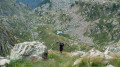
(3) At the end of this valley, take the path that climbs along the valley (neither the one on the right nor the one right at the left). The path climbs steeply through the scree slopes of the Vallon de Baissette; it isn’t very clearly marked, but you’ll find cairns from time to time to help you find your way. It leads to the Col and Lac de Baissette.
(4) At the lake, turn left and head due north through a very rocky area. The path climbs steeply through rocky outcrops and there are a few cairns (though it’s hard to go wrong) until you reach a large plateau.
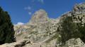
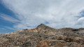
(5) The Cime Guilié is finally clearly visible. Continue following more or less visible tracks to reach the summit without difficulty.
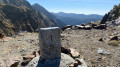
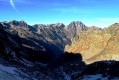
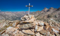
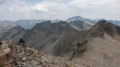
(6) At the summit of Guilié (2,999 m), enjoy the view before descending to the Col de Baissette.
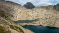
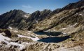
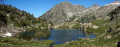
(4) Rather than descending via the same route, turn left onto a poorly defined path, though a cairn is clearly visible from below. The path climbs slightly before winding its way above the Lacs Bessons. Descend the grassy slopes to reach the first lake.
(7) At the lake, take the path that descends into the Lacs Bessons valley to reach the Vallon de Sangué.
(3) Then return to the car park (S/E) by following the route back in the opposite direction to the outward journey.


 Visorando Member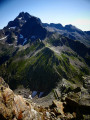
 Difficult
 Moderate