Country:

 City:
City:


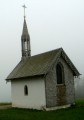
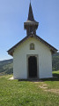
Car park at the Chapelle des Vés.
Green Ring signposting
(S/E) From the car park, continue along the small road leading uphill past the small hikers’ shelter for about 700 m.
(1) Turn left onto the small path marked with the Green Ring and Red Disc signs, which winds its way up along the edge of the woods.
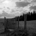
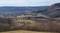
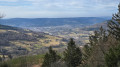
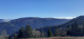
(2) Pass by the spot known as Le Four des Fées (a vast, presumably natural cavity carved into the rock) then on to the Rocher du Haut de la Lochère, the highest point on the route (altitude 950), which offers a superb view stretching from Bussang to Saint-Maurice-sur-Moselle, Fresse-sur-Moselle and Le Thillot. Continue along the Green Ring marked trail, which will soon begin to descend, and leave the Red Disc markings behind. At the bottom, go through the ‘stop cow’ gate, pass by a viewing point and head straight across a vast, open meadow.
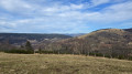
(3) Turn left, following the fence, pass a new viewing point and begin a long, straight descent across grassy ground. Pass through another gate at the edge of the meadow. The path takes a sharp right-hand bend (viewing point) and joins a small tarmac road; turn left here.
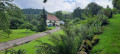
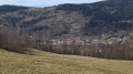
(4) The Chalet des Associations du Ménil offers a beautiful view of Le Ménil. Continue the descent, taking a hairpin bend to the left onto a path that joins a small tarmac road, the Chemin du Droit.
(5) Turn left to head back up Chemin du Droit and reach the car park at the Chapelle des Vés (S/E).

 Visorando Member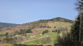

 Difficult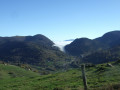
 Moderate