Country:

 City:


(S) From the Hôtel des Mélèzes, heading south-east, take the D 91 road to the Gasis bridge. As you approach this bridge, the road remains severely damaged and will require repairs during 2022.
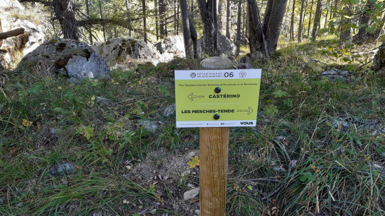
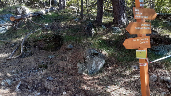
See the ‘Practical Information’ section for details of the signposting
(1) Leave the D 91, cross the bridge and follow a signposted path through the new, widened riverbed of the torrent, until you reach a marker post, then head uphill towards a section of the old path.
(2) Follow the old path until you reach a new signpost.
(3) Head downwards towards the west, then turn south-east. Pass Lake Castérino on your right and begin the climb up the new section of the Valaire path. Continue until you reach the new marker 345.
(4) Rejoin the Valaire path and continue until you reach a junction with the end of the Piste de Spegi.
(5) Heading east then north-east, you’ll soon reach another fork in the path. (Signpost for Saint-Dalmas-de-Tende).
(6) Turn right onto the Chemin des Bois and begin the descent. Continue through the forest, taking care to stay on the left-hand path at two small junctions not shown on the map, as you approach the junction with the path coming from Mairise.
(7) Still heading east, stay on the Chemin des Bois until you reach marker 347
(8) Leave the Chemin des Bois, which leads to Tende. Turn right, following the sign for Saint-Dalmas-de-Tende. Continue the steep descent to the entrance to the village.
(9) Take the small road and join the D 6204 (Avenue Jean Médecin).
Turn right heading south. Take great care on the D 6204 (there is no pavement for approximately 100 m). Continue to the junction with Avenue des Martyrs de la Résistance (D 91 – Route de Castérino).
You will arrive at the imposing Saint-Dalmas-de-Tende railway station. (E)

 Visorando Member
 Difficult
 Very difficult