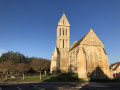
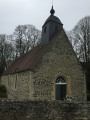
Bière Celtic Camp

Discover this walking route taking in a Celtic archaeological site and unspoilt natural areas. A walk back to 3,500 BC!
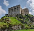
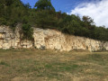
The Camp de Bière is one of the most important and best-preserved Iron Age archaeological sites in western France. Established during the Middle Neolithic period on a rocky outcrop overlooking the Trun plain, it is a fortified settlement protected by a wall of stone and dry earth. Abandoned during the Gallo-Roman period, Camp de Bierre offers a unique insight into the history of human settlement in Normandy. Open all year round.

Details

103043801
Creation:
Last update:
Last review:
  • Walking
    Activity: Walking
  • ↔
    Distance: 1.03 mi
  • ◔
    Average duration: 0h 35 
  • ▲
    Difficulty: Easy

  • ⚐
    Back to start: Yes
  • ↗
    Ascent: + 105 ft
  • ↘
    Descent: - 102 ft

  • ▲
    Highest point: 528 ft
  • ▼
    Lowest point: 417 ft
  • ⚐ Country: France
  • ⚐ City: Merri (61160)
  • ⚑
    Start/End: N 48.836632° / W 0.052155°
  • ❏
    IGN map(s): Ref. 1614SB
  • Hour-by-hour weather

Description of the walk

Park in the free public car park to the south of Bière.

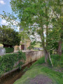
(S/E) Take the Chemin du Camp Celtique, then turn right onto the path running alongside the Ruisseau du Douit. You’ll come to a bridge.

(1) Turn left onto it and head up the path. You’ll reach the site’s ramparts. At the entrance to the site, turn left to walk around the stone ramparts. Make your way to the site’s exit.

(2) Go through the gate and continue along the path to quickly reach the hamlet of Launay.

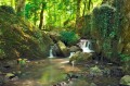
(3) Turn right onto the yellow-marked PR® trail, then continue to the right at the next junction. Follow the Ruisseau du Douit and return to the bridge you crossed earlier.

(1) Cross the bridge again, then follow the same route as on the way out but in the opposite direction to return to the Bière car park (S/E).

Waypoints

  1. S/E : mi 0 - alt. 423 ft - Bière car park
  2. 1 : mi 0.12 - alt. 433 ft - Small bridge
  3. 2 : mi 0.42 - alt. 515 ft - Exit from the camp
  4. 3 : mi 0.53 - alt. 505 ft - Launay
  5. S/E : mi 1.03 - alt. 427 ft - Bière car park

Notes

(S/E) Picnic tables available. Map explaining the site.

Worth a visit

Between (1) and (2): do feel free to take a full tour of the historic Celtic camp site, with its various information boards.

Always be cautious and plan ahead when you're outdoors. Visorando and the author of this route cannot be held responsible for any accidents occurring on this route.

The GR® and PR® markings are the intellectual property of the Fédération Française de Randonnée Pédestre.

Other walks in the area

For more walks, use our search engine .

The GPS track and description are the property of this route's author. Please do not copy them without permission.