Country:

 City:
City:


The route starts at the Surchauffant campsite (car park).
(S/E) Set off eastwards following the GRP®. The path is stony but pleasant. In summer, watch out for box tree moths, whose caterpillars hang from the branches. The path climbs gently towards the plateau.
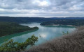
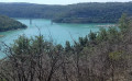
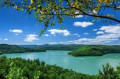
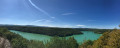
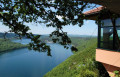
(1) Once you reach the large rocky outcrops, a small path on the right leads to a beautiful viewpoint over the lake. The path then turns left and enters the Bellecin Forest.
(2) Turn left (north-east).
N.B. At this point, the IGN and OSM Trails base maps do not show the same route for theGRP®: according to the IGN, you leave theGRP®; according to OSM, you remain on it.
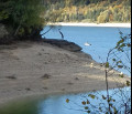
(3) Head west-north-west and descend along a steep, very stony path – this is the only difficult section. You’ll reach a charming little beach.
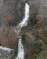
(4) The path climbs back up whilst staying close to the lake. N.B. According to the IGN map, you rejoin theGRP® after about 750m. Continue close to the lake and reach the tufa waterfalls marked on the map (dry and unremarkable when I passed by).
(5) Continue climbing, north-north-west. Back on the plateau, take a very wide hairpin bend to the left.
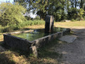
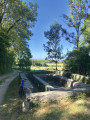
(6) At the junction, turn right (west). Follow a very good path, ignoring the side tracks. Just before a fountain and a wash house, note a lovely view to the left over the Jura Mountains.
(7) At the crossroads, turn left. At the next junction, follow the path to the left and carry on straight ahead.
(8) At the crossroads, leave the main path which heads down to the left into the forest and go straight on along the path heading south (note: this path is a little tricky to find).
(9) At the Fork in the road, turn left and head down to the Tour du Meix. At the roundabout (cross), turn left onto Rue du Jeu de Quille.
(10) Reach the D470 and follow it to the left. At the junction by the lake, turn right and follow the road leading to the campsite (S/E).

 Visorando Member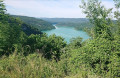
 Difficult
 Very difficult