Country:

 City:
City:


From Perpignan, drive to Prades, then head towards Molitg via the D619, then the D14.
Drive up into the village. Park in the Estaca car park, at the entrance to Molitg village.
(S/E) Head towards Campôme via the D14A (Carrer d’Avall). A little further on, turn right onto the D14 and continue for about 40 metres.
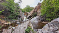
(1) Cross the main road and enter the village of Campôme via Chemin du Moulin. Cross the River Castellane and continue up the small road on the left.
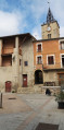
The village centre is well worth a quick detour (church, little square, river).
(2) Carry on along this small road, passing the sign for “Orri de Carmaju” on your right; the road turns into a track. Continue along this track.
(3) If you turn left, the path leads to the ruins of Paracolls Castle and its chapel (20 mins there and back). Otherwise, continue towards the telecoms mast and along the track which descends gently towards the Còrrec del Solà, then climbs again.
(4) Junction with a sign indicating that it is possible to make a round trip to the ruins of the Chapel of Saint Christopher in Fornols (15 mins). Alternatively, leave the track and continue straight ahead along a path towards Catllar. You will rejoin a track a few hundred metres further on.
(5) Please note: the sign is not very visible. Leave the track and take a footpath on the left which descends to the village of Catllar.
(6) Carry on to the right, downhill, then turn right again to cross the Còrrec de les Eres and rejoin a track.
(7) Turn left to cross the Castellane again, walk past the cemetery and the car park on your left, and carry on straight ahead.
(8) Cross the D619 and take Rue d’en Haut as far as the church. Go round it on the right, heading down Rue de la Coume (Carrer de Coma), which then climbs and joins Route d’Eus.
(9) Cross this road and take the Chemin de Saint-Jaume de Calahons opposite. Walk up the street, which is quite steep, until you reach a junction.
(10) Turn right, following signs for the Calahons Hermitage.
(11) Pass through an area with restored olive groves. Reach a fork at the 525-metre mark.
(12) Turn right, then right again 200 metres further on, crossing a track.
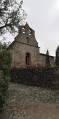
(13) Walk past the Sant-Jaume de Calaons Chapel (respecting the tranquillity of the surroundings) and, at the fountain and picnic tables, take the track that climbs to the left for about 500 m.
(14) At a bend in the track, which veers off to the left after a wooden gate, take the path that climbs to the right, towards Molitg, for 200 metres.
(15) When you reach the road (D619), turn left onto it for about 10 metres. Look out for a path on the right, marked only by a small wooden post, and follow it. On the path, go round a dry-stone marker (Calahons II Tomb). When you reach a livestock fence, go through the metal gate.
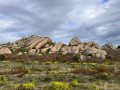
On either side of the fence are a Neolithic tomb and a dolmen.
Follow the small wooden posts, marked in yellow, close to the fence, until you reach a track.
(16) Turn left onto it and follow it for about 900 m.
(17) Leave the track and turn left towards Molitg. Walk downhill for 500 m to the “Les Planes” plateau.
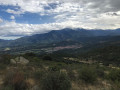
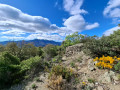
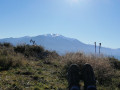
(18) Turn right to head down towards Molitg Village. Very soon, you’ll be treated to a remarkable view of Le Madres, Molitg and the Canigou. Walk through the village, take the Rambla Pau Casals, and head to the car park (S/E).

 Visorando Member
 Average
 Easy
Easy