Country:
 City:
City:


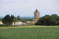
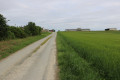
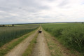
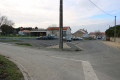
The car park is on Rue Baptiste Paul Grimaud, near the town hall and the post office. Alternatively, there is a car park opposite the cemetery on the same street.
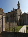
(S/E) Turn left (south) onto Rue Baptiste Louis Grimaud (D104) and walk alongside the cemetery on your right. At the roundabout, take Rue des Marronniers straight ahead, between the D101 on the right and the D104 on the left. After just under a hundred metres, turn left onto a path. Then cross a small road carefully and continue along the path opposite.
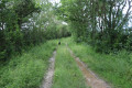
(1) About 200 metres further on, turn left onto a path between two small hedges. Carefully cross a small road and continue along the path straight ahead. At a junction by the side of the D104, turn left to join the road.
(2) Carefully cross the D104 and continue straight ahead along Impasse des Tilleuls. At the Fork in the road, take the right-hand track heading towards a large farm building. Turn left, walk past the building and you’ll reach Chemin des Trois Fermes. Then turn right (east).
(3) At the end, turn left and carefully follow the road known as Chemin de la Motte Féodale. Ignore a turn-off on the left. When you reach the T-junction in Vieux Brulain, veer to the right and you’ll immediately come out onto a road.
(4) Turn right and leave Vieux Brulain. Stay on the road, ignoring any side tracks.
(5) At a bend to the left, ignore the road on the right and, immediately afterwards, turn left onto a grassy track lined with a hedge. At the end, follow the D101 to the left for about a hundred metres and turn onto the first track on the right. Cross the Pré Rousseau area (puddles after heavy rain) and join a small road.
(6) Carry on straight ahead and pass the hamlet of La Motte le Roux. When the road bends left towards the hamlet of La Salle, turn right onto a track. At the next junction (marker 50), turn left and follow an intermittent stream on your left-hand side. At the T-junction, turn left and continue to the next junction.
(7) Turn left onto Rue des Chaumes. Pass the hamlet of Le Lineau and turn right. At the next junction, turn right onto Rue du Charpentier. At the end of this road, turn right onto Rue du Maréchal Ferrant. At the last farm building on the left-hand side, turn left onto Rue des Ouches. Turn right onto this street, ignore a road coming from the left and you’ll reach Rue du Château.
(8) Turn right and, after about 50 metres, turn left onto a path. Head north, ignoring a turn-off to the left and then one to the right.
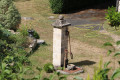
(9) At the end, follow a small road to the left. Cross the D104, continue straight ahead and pass through Availle via Rue de l’Ancien Lavoir (pond and covered wash house).
(10) When the road bends to the right, turn left onto the path known as the ‘Ouche Carrée’. Head west. At a crossroads, take the path on the right which leads uphill. At the next crossroads, turn right.
(11) Shortly afterwards, turn left onto a track and walk alongside a vineyard on your left. The track climbs onto a small plateau, which it follows until it reaches the D104 road. Follow the road to the right (take care).
(12) At the crossroads (with a farm on the right), turn left onto a track. At the Fork in the road that appears immediately, turn left (south-west). At the end of the track, turn left.
(13) At the junction near the hamlet of Bouquétienne, go straight on and, at the next junction, straight on again. Turn right onto the track (south-west) and ignore the side paths.
(14) At the junction with a rectangular water reservoir, turn left and pass between the farm buildings. Join the D104 and follow it to the right to quickly return to the starting point (S/E).

 Visorando Member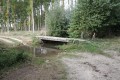

 Easy
Easy