Country:

 City:
City:


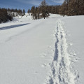
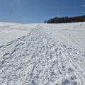
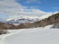
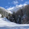
From Ancelle, head to the Taillas car park on the edge of the Col de Moissière road (D213).
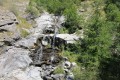
(S/E) At the top of the car park, leave the road and take a track along the edge of the Torrent de Rivaou. Follow the torrent, which you will need to cross twice on narrow footbridges. After the second footbridge, leave the torrent and climb eastwards to the road.
(1) Cross it carefully and climb up into the field, going around a barn on the left and passing above it. Cross a stream and pass under a cross. You will reach a hamlet.
(2) Pass between two houses in the hamlet and take a track towards the Costebelle ski lift. Pass to the right of the ski lift and head towards the Col de Moissière, turning right towards a barrier on a path.
(3) Go through the barrier, climb up the field heading west, pass a picnic table on your right, and continue to a larch tree where a path branches off to the right.
(4) At the fork, ignore this path and continue climbing westwards. Follow the edge of a ski slope for about a hundred metres to Collet des Auréous, a small pass.
(5) Leave the ski slope on your right and climb north-west to the Cabane de Faudon.
(6) Go around it on the left, climb just above it, making a turn to ease the slope until you reach an orientation table.
(7) Pass under the Serreglier ski lift cables and descend along the edge of the trail towards the west. As soon as possible (see Practical Information), enter the forest on the left (marked by a discreet purple sign) and, after crossing a small valley, you will reach the Coulon du Château.
(8) Descend on the left along the edge of the piste to the start of a path that allows you to avoid a steep wall.
(9) Take this narrow path on the left until you reach a crossroads marked by a sign indicating Ancelle 3 km away.
(10) Take this direction to the right to return to the ski slope, which you will follow on the left until you reach a hut.
(11) Leave the ski slope and take a path. At the cemetery, take off your snowshoes, join the D13 Route du Col de Manse departmental road, turn right, pass under the snow front, cross a bridge and you will reach the Chemin du Rivaou.
(12) Take this path on the right, then the D213 on the right, which will take you back to the Taillas car park (S/E).
 Visorando Member

 Easy
Easy 
 Difficult