Country:

 City:
City:


Head to Notre-Dame-du-Laus and park in the tarmac car park on the right at the village entrance (there are several unpaved car parks nearby if this one is full).
Yellow markings
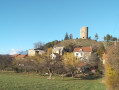
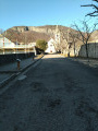
(S/E) From the car park, walk past the toilets on your left and head towards the village. Soon, leave a road on your left, then the next one heading towards the Col du Tourrond. Continue until you reach Benoite Rencurel’s house (on your right).
In front of this house, leave the main road which branches off to the right and continue straight on towards the sanctuary. Climb the two flights of steps leading to the Basilica of Notre-Dame du Laus. Go round it on the right and head for a junction.
(1) Turn left and follow the road towards Pindreau (sign a few metres further on to the right). Ignore the turnings to the right and left leading to buildings or houses and carry on. Further on, the road descends between the houses and reaches a junction.
(2) Turn right onto the tarmac road towards Col du Tourrond. At a wayside shrine (on your left), leave the road and turn right onto a path through the woods. Cut across the road and continue straight ahead through the woods until you rejoin the same tarmac road.
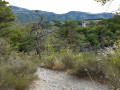
(3) Turn right onto the road for a few metres, then turn left onto the ascending path. When the path descends again and reaches a dry stream bed, a faint path to the left might tempt you to follow it (no signposting at this point). Do not follow this path but carry on straight ahead along the stream bed to rejoin the path which slopes to the left a little further up. Join a wide track at the Charamère junction.
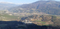
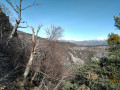
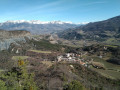
(4) Turn right onto the track towards Puy Maurel. At the next junction, carry on straight ahead along the path. It climbs then emerges onto a ledge above the Avance Valley, offering fine views. Continue for a few dozen metres to reach the Pas du Lièvre (viewpoint over Notre-Dame du Laus).
No further signposting
(5) Carry on straight ahead and begin the descent, which is a little steep at first but then becomes gentler until you reach a junction (not shown on the map). Continue down the slope to the right, ignoring the path on the left towards La Grand Pigne, and you’ll reach a T-junction.
(6) Turn left onto a more or less level path. Further on, ignore a faint path to the left and reach a stream. Follow it to the right until you reach the tarmac road. Turn right and follow the road to the rear of the basilica.
(1) Turn left and retrace your steps to return to the car park (S/E)

 Visorando Member
 Easy
Easy