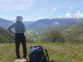
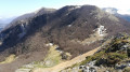
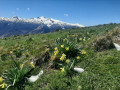
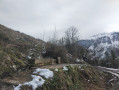
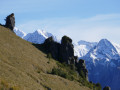
On the hills above Sarrance

This short walk is ideal for stretching your legs before exploring the pretty village of Sarrance!

Details

14149777
Creation:
Last update:
Last review:
  • Walking
    Activity: Walking
  • ↔
    Distance: 2.47 mi
  • ◔
    Average duration: 1h 50 
  • ▲
    Difficulty: Easy

  • ⚐
    Back to start: Yes
  • ↗
    Ascent: + 810 ft
  • ↘
    Descent: - 810 ft

  • ▲
    Highest point: 1,942 ft
  • ▼
    Lowest point: 1,119 ft

Photos

Description of the walk

Park in the car park (Rue d’En Bas).

(S/E) Turn your back on the N134 and take the road leading uphill. Turn left into Rue du Bourg and carry on straight ahead until you reach a fountain.
Discover the Church of Notre-Dame de la Pierre, the Basque pelota court, the Sarrance Fountain and the wash house.

(1) Walk between the fountain and the court. Walk for about 50 metres, then turn right onto Chemin de Bosdapous, which runs between two houses. Walk uphill until you reach a junction.

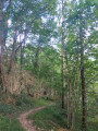
(2) Cross the stony track to take the forest path directly opposite. Continue uphill until you reach another signposted junction.

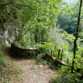
(3) Take the path opposite, which leads back down. You are now on your way back. Follow it until you reach a junction with a tarmac road.

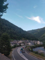
(4) At the road, head down to the right then turn left straight away. Walk downhill until you reach the N134. At the stop sign, turn left and walk alongside the main road.
Please note: cars travel at high speed. Take care. Keep your dogs on a lead).
500 m further on, turn left into Rue de l’Église, towards Sarrance cemetery. Enjoy the view of the village. Carry on straight ahead until you reach the square with the church and the fountain.

(1) Leave the fountain on your left and carry on straight ahead along Rue du Bourg. At the end, turn right, passing under the bistro: Le Pas Sages. You are now in the car park (S/E).

Waypoints

  1. S/E : mi 0 - alt. 1,132 ft - Car park
  2. 1 : mi 0.17 - alt. 1,129 ft - A/R junction. Fountain
  3. 2 : mi 0.6 - alt. 1,631 ft - Junction. Stony path
  4. 3 : mi 0.84 - alt. 1,877 ft - Signposted junction
  5. 4 : mi 1.8 - alt. 1,240 ft - A tarmac road running alongside the - Gave d'Asp (cours d'eau) - Espagne - Affluent du Gave d'Oloron
  6. S/E : mi 2.47 - alt. 1,132 ft - Car park

Notes

Please note: this route is also used by cyclists.
Keep an eye on your dogs.

Worth a visit

Take the opportunity to explore the village of Sarrance, its church and its wash house… Pop into the Casteignau butcher’s to stock up on local produce and stop off at the bistro, Le Pas Sage, for a drink!

Reviews and comments

4.8 / 5
Based on 2 reviews

Reliability of the description
5 / 5
Ease of following the route
5 / 5
Route interest
4.5 / 5
User 26970839

Overall rating : 5 / 5

Date of your route : Aug 04, 2025
Reliability of the description : ★★★★★ Very good
Ease of following the route : ★★★★★ Very good
Route interest : ★★★★★ Very good
Very busy route : No

Machine-translated

jiced
jiced

Overall rating : 4.7 / 5

Date of your route : Oct 11, 2021
Reliability of the description : ★★★★★ Very good
Ease of following the route : ★★★★★ Very good
Route interest : ★★★★☆ Good
Very busy route : No

Absolutely nothing in particular to report—

Machine-translated

Other walks in the area

For more walks, use our search engine .

The GPS track and description are the property of this route's author. Please do not copy them without permission.