Country:
 City:
City:


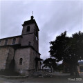
Park in the Presbytère car park, near Thise church.
(S/E) Leave Thise by turning your back on the church and taking the Chemin des Vaux for about 150 metres.
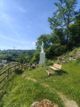
(1) Leave the Chemin des Vaux and take a stony path on the left, making your way up towards the metal cross at the calvary, already visible on its hillock. The path runs over a few protruding stones but is not difficult, under the foliage, and already gives a sense of well-being.
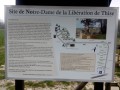
Return to the Chemin des Vaux, which you left earlier, and follow it to the left, crossing the Rue des Prés de Vaux, which you should leave on your right. Continue straight on towards the Notre-Dame de la Libération car park (a return visit is possible; see signage on site) and the Moray Equestrian Centre.
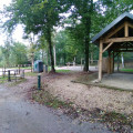
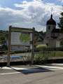
Keep to the left on the track at the edge of the forest and follow it to the picnic area known as Les Écureuils (potential parking). Here, walkers will find a table and bench, an outdoor cooking area and an information board describing the signposted educational forest trail (featuring 13 species of tree). Please ensure it is safe to use the facilities (taking into account the season, weather conditions, etc.). Please leave the site clean.
The walk continues towards Les Brousses, still along the edge of the forest on the aptly named Chemin de la Lisière (blue-and-yellow markings) towards the Place des Faisans (potential car park). This is a dead end for vehicles other than forestry vehicles.
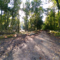
(2) Facing east, the walker is then faced with three tracks: one on the left, leading uphill, with a barrier; a second on the right, running along the edge of the forest; and a third, furthest to the right, which leads into the undergrowth. Take the latter, continuing straight ahead along a track softened by earth and conifer needles. Immediately, the hushed atmosphere of the undergrowth and the scents of the forest will delight the walker.
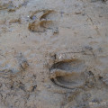
Leave the first track branching off to the south-southeast on your right. On the main path, a distinctive watering hole provides water for the various local animals (numerous tracks).
Continue at a leisurely pace, listening to the sounds of the forest, until you reach another junction after a short, stony descent. Ignore the path on the right and continue to the next crossroads, marked on the left by a boundary stone.
(3) Then descend to the right at a 45° angle along a lovely track flanked by a few clumps of pine and spruce trees, until you reach the edge of the woodland.
(4) Turn right at a hairpin bend, following the edge of the woodland for a few hundred metres until you cross several good tracks near the altitude of 306.
(5) Take the track on the left, changing direction towards the south. Head straight up this wide track until you reach the junction with a white, motorised track. Continue along this lovely path, passing under the high-voltage power line, and after about 1 km you’ll reach the Bois de Roche picnic area.
(6) There is a car park, a playground, a boules court, a shelter and bins for general waste and glass. Take your time to enjoy this spot at your leisure. Walk downhill along the tarmac road towards Roche until you reach the junction with Rue de Beaupré. Carry straight on along Rue des Boillons until you reach the railway line.
(7) Turn right onto Rue de la Vaivre, walking alongside the woodland of the same name with the railway line on your left.
Walk past the Ferme de la Vaivre, a large ochre-coloured building nestled in a bend in the road. Make your way through the pastures (cattle present; birds of prey may be spotted; large animals may pass through from time to time, depending on the season).
A little further on, Beaupré Castle and its slender chapel come into view: at the crossroads, turn right towards the entrance to the grounds, following the boundary wall. You’ll see horses and two consecutive information boards.
(8) Cross Rue de Beaupré with care and continue along the forest path opposite, which climbs gently, until you reach the Chemin des Vaux once more. Follow it to the left towards the wayside cross, keeping an eye on the bell tower of Saint-Hilaire de Thise, near the original car park, which marks the end of the walk (S/E).

 Visorando Member

 Moderate