Country:

 City:
City:


Park nearby in the car park at the top of the Col d’Allos, open from May to October, subject to snow conditions.
Please note: for summer 2025, access to the Col d’Allos will be restricted; please check with the Val d’Allos Tourist Office.
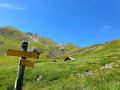
(S/E) From the refuge, you’ll walk along a very short stretch of road before taking a path on your right, which marks the start of the trail to follow. The route leads uphill to the Baisse du Signal.
(1) Head straight on towards the Baisse de Prenier.
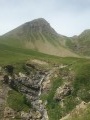
(2) From the path, you should be able to see the magnificent Grande Seolane behind you. Continue to the right as far as the Montagne de Cheirouèche.
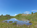
(3) Continue along the path on the right towards the mountain. You’ll come across a small lake on your right.
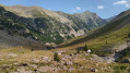
(4) The path begins to descend, before climbing again towards the Rochegrand summit.
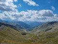
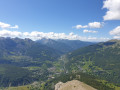
(5) Take the opportunity to admire the 360° panoramic view of the upper Haut Verdon valley, then cool off and have a picnic at the summit. Return to the car park via the same route. (S/E)


 Visorando Member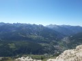
 Moderate
 Difficult
  Tourist office