


 Country:

 City:
City:


(S) From the car park at Lormay, take the road back towards Le Grand-Bornand with tennis courts on your left.
(1) Turn left immediately after the tennis courts and take the path which runs parallel to the road, crossing 3 bridges over the stream. Arrive at a junction and signpost with a track heading uphill on the left.
(2) Take the left hand path uphill to a junction with the lower track from Les Confins.
(3) Turn left and follow the passing another junction with a track on the right and then to a further junction shortly afterwards.
(4) Turn right and continue uphill to a well signposted junction with the upper track from les Confins; La Pierre Marquee, look out for the carved boundary stone a few metres away from the signpost.
(5) Take the path uphill to come out of the trees just before the Refuge de la Bombardellaz.
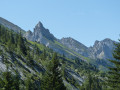
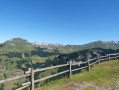
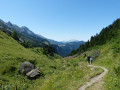
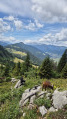
(6) From the refuge, continues along the path which contours around the lower slopes the Chaine des Aravis. At a junction, descend to the pastures and farm buildings at La Borbardellaz ignore a junction and signpost on the right to the Combe du Mont Charvet and continue through pastures and light woodland to Le Planet. (Again ignore signposts on the right to Combe de Chombas and Refuge Gramusset) Please note you will most probably walk through pastures with cows, please keep any dogs on leads. During this stage of the walk, keep stopping and looking back as the views of the Aravis mountains behind you are as good as those in front.
(7) Just below the farm at Le Planet turn left, downhill, and cross the stream. The good track continues ahead but looks out for a minor path on the left immediately after the stream.
(8) Turn left on the minor path and follow it downhill. You will come to a junction on the left with a direct descent to Les Troncs, you can take it if you want to arrived directly at (10). We continued along the path to a second descent.
(9) Descend through woodland, which brings you out at the parking and picnic spot.
(10) Walk along the road, passing through Les Troncs, to arrive back at the Lormay car park (S/E)

 Visorando Member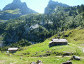

 Very difficult
 Extremely difficult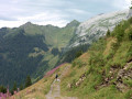
 Easy
Easy 
