Pic de la Camisette, starting from the Plaine d’Artigues

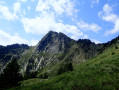
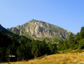
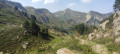
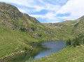
The ascent of the Pic de la Camisette, a granite peak, offers the chance to explore a wild area around the Étangs de la Camisette, the site of a tragedy in 1944 (a plane crash). Starting from Plaine d’Artigues, the route follows a section of the GR®7A, then a section off the beaten track but marked in yellow and with cairns.

Details

104387813
Creation:
Last update:
Last review:
  • Walking
    Activity: Walking
  • ↔
    Distance: 7.40 mi
  • ◔
    Average duration: 5h 45 
  • ▲
    Difficulty: Difficult

  • ⚐
    Back to start: Yes
  • ↗
    Ascent: + 2,657 ft
  • ↘
    Descent: - 2,657 ft

  • ▲
    Highest point: 7,920 ft
  • ▼
    Lowest point: 5,325 ft

Description of the walk

Plaine d’Artigues: the start is opposite the memorial marking the 1944 plane crash, accessible via the Route Forestière de Laurenti.

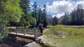
(S/E) Head south (behind the memorial) along the GR®7A, marked in red and white, which leads into the forest. Pass the Bousadus du Bas hut on your left, then Boudasus du Haut. Follow the easy GR® path to the wooden bridge.

(1) Cross the Barbouillère stream. Continue to follow the GR® until you emerge from the forest. The path becomes difficult to follow and the markings sparse; keep the Roc Blanc in your sights. Look out on your right (west) for the Col Sauvage, which you must reach to get to the Étang de la Camisette.

(2) Don’t miss the inconspicuous junction on the right. Leave the GR® here and follow the yellow markings. Head north-east uphill to reach an unnamed pass.

(3) Continue on to Étang de la Camisette.

(4) Go round it to the right (north) and head towards the grassy ridge that slopes up towards the main ridge and the Pic de la Camisette. Follow the footpath and the yellow markings carefully until you reach the rocks.

(5) Continue to the right, on the western slope of the ridge. The path avoids the tricky rocks, though the sections are exposed right up to the summit of the Pic de la Camisette.

(6) Return via the same route as on the way up to the memorial stone, where you can park (S/E).

Waypoints

  1. S/E : mi 0 - alt. 5,325 ft - Aircraft crash memorial
  2. 1 : mi 2.18 - alt. 6,352 ft - Forest walk
  3. 2 : mi 2.63 - alt. 6,709 ft - Junction – Cairns
  4. 3 : mi 2.93 - alt. 7,073 ft - Unnamed Pass
  5. 4 : mi 2.97 - alt. 7,047 ft - Étangs de la Camisette
  6. 5 : mi 3.47 - alt. 7,552 ft - Rocks
  7. 6 : mi 3.69 - alt. 7,913 ft - Pic de la Camisette (2426 m)
  8. S/E : mi 7.4 - alt. 5,325 ft - Aircraft crash memorial

Notes

A wild and little-used high-mountain route, requiring good physical fitness and suitable equipment: walking poles, mountain boots, suitable clothing and food, maps and a compass, and the Visorando app.

In the mountains, grassy slopes are just as dangerous as snow-covered ones, so stay alert!

Only set out on the route when the weather is excellent and visibility is good: no wind, no rain, no cold!

It can suddenly get very cold at altitude, and storms can build up very quickly!

Worth a visit

Barbouillère Valley.

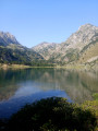
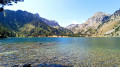
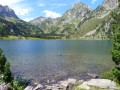
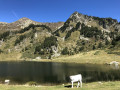
Camisette Lake.

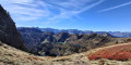
Panoramic view from the summit of the Orlu National Reserve, the Étang de Balbonne and the Roc Blanc.

Always be cautious and plan ahead when you're outdoors. Visorando and the author of this route cannot be held responsible for any accidents occurring on this route.

The GR® and PR® markings are the intellectual property of the Fédération Française de Randonnée Pédestre.

Other walks in the area

For more walks, use our search engine .

The GPS track and description are the property of this route's author. Please do not copy them without permission.