A circular loop around the Combe de Canaud, starting from Flassan

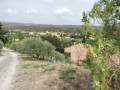
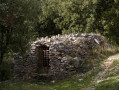
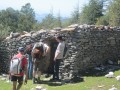
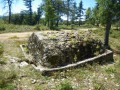
Explore the mysterious Combe de Canaud, starting from the village of Flassan. This walk offers magnificent views, as well as the chance to discover old sheepfolds (known as ‘jas’ in the Provençal language).

Details

106355402
Creation:
Last update:
Last review:
  • Walking
    Activity: Walking
  • ↔
    Distance: 5.64 mi
  • ◔
    Average duration: 3h 35 
  • ▲
    Difficulty: Moderate

  • ⚐
    Back to start: Yes
  • ↗
    Ascent: + 1,122 ft
  • ↘
    Descent: - 1,122 ft

  • ▲
    Highest point: 2,552 ft
  • ▼
    Lowest point: 1,430 ft

Photos

Description of the walk

Park in the square by the Flassan community hall (GPS coordinates: N 44.098188° / E 5.242486°).

(S/E) Turn right onto Rue de Canaud.

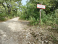
(1) Carefully cross the Route de la Gabelle (D217) and turn into Rue de la Combe de Canaud, which leads uphill, opposite. You’ll come to a stony track.

(2) Follow it to the right for 2.9 km through the Combe de Canaud.

(3) At the Tourreus crossroads, turn left onto a path that continues to climb, heading towards the cistern.

(4) Go round the cistern, turn left onto the track, and finally begin the descent towards Flassan.

(5) At the first crossroads you come to, leave the track and turn left towards Chanvillard Nord.

(6) At Chanvillard Nord, continue down the Chemin des Jas to the left, go round the Jas de Chanvillard, and arrive at the Jas de Montagard.

(7) At the junction at the Jas de Montagard, turn sharply left. Ignore two turn-offs on the left, and you’ll reach a crossroads and the Chemin de l’Estrechon.

(8) Follow this wide path to the left, ignoring two turn-offs on the right, until you reach the junction you passed at the start of the walk.

(2) Retrace your steps along the route you took on the way out, turning right to reach the square in front of the community hall (S/E).

Waypoints

  1. S/E : mi 0 - alt. 1,430 ft - Car park by the community hall
  2. 1 : mi 0.15 - alt. 1,460 ft - Cross the D217
  3. 2 : mi 0.56 - alt. 1,621 ft - Crossroads marking the end of the circular loop
  4. 3 : mi 2.41 - alt. 2,490 ft - Tourreus crossroads
  5. 4 : mi 2.56 - alt. 2,503 ft - Cistern
  6. 5 : mi 3.06 - alt. 2,533 ft - Crossroads with a signpost, towards Chanvillard Nord
  7. 6 : mi 3.35 - alt. 2,418 ft - Chevillard Nord crossroads
  8. 7 : mi 4.22 - alt. 1,995 ft - Mountain shepherd’s hut
  9. 8 : mi 4.61 - alt. 1,781 ft - Junction with signpost V.X. 102
  10. S/E : mi 5.64 - alt. 1,430 ft - Car park by the community hall

Worth a visit

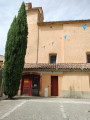
A 12th-century fortified church in the heart of the village.

Numerous ‘jas’ (old sheepfolds).

Other walks in the area

For more walks, use our search engine .

The GPS track and description are the property of this route's author. Please do not copy them without permission.