Country:
 City:
City:


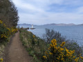
(S) The route begins by skirting the eastern shore of Loch Aline.
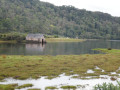
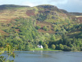
(1) The first point of interest you’ll come across after just 500 metres is the ‘Boat House’, a typical Morvern building: boats were the only means of transport before the first roads were built in themid-19th century.
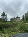
A few hundred metres further on, a view looking back reveals both the fortified castle at Kinlochaline and Ardtornish House (a manor house).
(2) Shortly after the 4 km mark, a few works of art stand opposite the ferry jetty providing the crossing between Lochaline and the Isle of Mull.
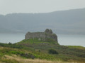
(3) After 2 km through the countryside, the route reaches an isolated farm and veers to the right onto a narrower path towards the rocky outcrop and the ancient medieval castle overlooking Ardtronish Bay on the Sound of Mull (E).
As the suggested route is a one-way walk, hikers are free to retrace their steps directly, to continue from (3) eastwards along a slightly more challenging path to Inninmore, or, again starting from (3), to return to the starting point by heading due north and passing the Lochan Lub An Arbhair hydroelectric station. We strongly recommend downloading the topographic and satellite maps via the Visorando app to avoid getting lost in this very remote area!
 Visorando Member
 Easy
Easy  Tourism professional