Country:

 City:
City:


Start from the golf course car park. You can also park at the main car park 100 m further up.
(S/E) Continue along the road, heading due east, until you reach the track at La Lanchette.
(1) Turn left to follow this lovely track through the forest. Continue until you reach the “Pierre Marquée” sign.
(2) Follow the sign for “Chalets de la Bombardellaz 0 h 20 via Refuge de la Bombardellaz”.
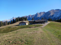
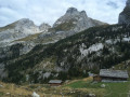
(3) Walk past the refuge and continue northwards until you reach the hamlet of La Bombardellaz, not far from the oratory.
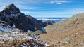
(4) Take the track that climbs eastwards (on your right), ignoring the one that runs alongside the chalets. Continue climbing amongst the rocks and blueberries until you reach a pass.
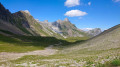
(5) Carry on to the right via the Combe du Mont Charvet: La Mamule is clearly visible on your right. Reach the ridges of Mont Charvet.
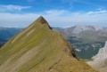
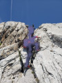
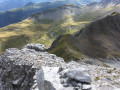
(6) Now’s the time to put on your helmets. The path is visible, but this section gets quite exposed: watch your step! Reach the summit.
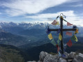
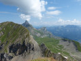
(7) Enjoy the 360° panorama. The descent is via the north face along a path that is clearly visible all the way down. Join the GRP® trail of the Massif de Tournette-Aravis.
(8) Continue to the left until you reach the Bombardellaz chalets, which are clearly visible from the summit.
(4) Retrace your steps along the ascent path to return to the golf course car park (S/E).



 Visorando Member
 Easy
Easy 
 Difficult
 Moderate