A circular route covering Le Tanet and Seestaettle, starting from the Col de la Schlucht

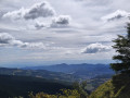
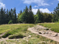
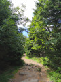
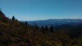
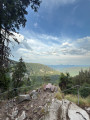
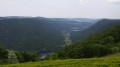
A lovely walk, partly through woodland and partly out in the open along the ridges, with superb panoramic views over the valley. The terrain is, however, very rocky and is not recommended for beginners. You can opt to go via the Hirschsteine rather than following the ridge.

Details

94692962
Creation:
Last update:
Last review:
  • Walking
    Activity: Walking
  • ↔
    Distance: 6.56 mi
  • ◔
    Average duration: 4h 15 
  • ▲
    Difficulty: Difficult

  • ⚐
    Back to start: Yes
  • ↗
    Ascent: + 1,407 ft
  • ↘
    Descent: - 1,407 ft

  • ▲
    Highest point: 4,242 ft
  • ▼
    Lowest point: 3,491 ft

Photos

Description of the walk

Park at the Col de la Schlucht car park.

Red Rectangle markings

(S/E) With your back to the car park, carefully follow the road to your left and, opposite the “Le Tetras” building, follow the GR®5, which climbs through the forest and then reaches the ridges. Continue to the junction with a path marked with a Yellow Triangle.

(1) Ignore the path on the right leading to the Hirschsteine and carry on straight ahead. The path passes the Petit Wurzelstein, then the Grand Wurzelstein and the Haut Fourneau.

(2) Ignore the path on the right which leads directly to the Tanet Seestaettle – the route we’ll take on our return – and carry on straight ahead. Ignore the next two paths on the right and continue to the junction with a path marked with a Yellow Saltire sign, before the Dreieck car park.

Yellow Saltire

(3) Follow the path leading down to the right and head towards the Seestaettle.

Red Saltire and Blue Rectangle markings

(4) Before the Seestaettle inn, follow the path which climbs to the right until you reach the edge of the forest.

(5) Continue to the right until you reach the next junction.

(6) Continue along the path that climbs straight ahead to the next junction.

Blue Triangle signposting

(7) Ignore the path on the right marked with a Red Saltire sign, and continue along the path on the left towards the Haut Fourneau.

Red Rectangle signpost

(2) Once you reach the ridge, follow the path on your left and, retracing your steps from the outward journey, return to the car park at the start at the Col de la Schlucht (S/E).

Waypoints

  1. S/E : mi 0 - alt. 3,737 ft - Car park - Col de la Schlucht
  2. 1 : mi 0.98 - alt. 4,035 ft - Junction
  3. 2 : mi 1.6 - alt. 4,144 ft - Haut Fourneau – Junction of the circular loop
  4. 3 : mi 2.85 - alt. 3,999 ft - Junction - Tanet (le)
  5. 4 : mi 3.72 - alt. 3,504 ft - Seestaettle
  6. 5 : mi 4.12 - alt. 3,688 ft - Forest
  7. 6 : mi 4.44 - alt. 3,855 ft - Junction
  8. 7 : mi 4.72 - alt. 3,996 ft - Junction
  9. S/E : mi 6.56 - alt. 3,737 ft - Car park - Col de la Schlucht

Notes

Refreshments available at the Auberge du Seestaettle.

This route passes through multiple protected areas, which may be subject to special regulations:

Worth a visit

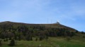
Le Tanet.

Lac Vert.

Always be cautious and plan ahead when you're outdoors. Visorando and the author of this route cannot be held responsible for any accidents occurring on this route.

The GR® and PR® markings are the intellectual property of the Fédération Française de Randonnée Pédestre.

Other walks in the area

For more walks, use our search engine .

The GPS track and description are the property of this route's author. Please do not copy them without permission.