Country:

 City:
City:


The start is on the D130, roughly halfway between Rothlach and the roundabout near the Welschbruch Forest House. There is a small car park, right next to a rock.
(S/E) Take the path that climbs up the hillside on the upstream side of the road towards Source de la Kirneck. It is marked with a Blue Saltire. Climb for about 150 m.
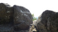
(1) Head left for a few dozen metres to view the rocks from below – there is sometimes climbing activity here – then retrace your steps.
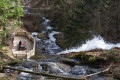
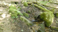
(1) Then continue the climb to the left, skirting round the rocks, until you reach the Source de la Kirneck (altitude 930 m). The flow may be very low in dry weather.
(2) Continue the climb to the junction.
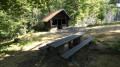
(3) Turn left onto the path marked with red-white-red Red Rectangles until you reach the Neuntelstein shelter. A picnic spot is available.
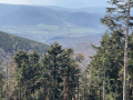
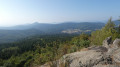
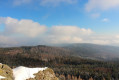
(4) Carry on straight ahead to the summit of the Neuntelstein and enjoy the view.
(5) You must now head back down the same route you took on the way up, in the opposite direction, to the car park (S/E).

 Visorando Member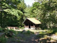

 Moderate
 Difficult
  Tourism professional