Country:

 City:
City:


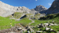
(S) From the Les Prioux car park, walk past the refuge.
(1) Cross the hamlet along a track.
(2) Stay on the track when you reach the first fork (just after leaving the hamlet) signposted for Petit Mont Blanc. Ignore the path climbing up to the left and continue along the track which descends to the junction marking the start of the ascent via the ‘100 Bends’ path.
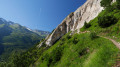
(3) You can’t miss the correct junction for the ‘100 Bends’ path; the water intake for the Pralognan hydroelectric power station is right nearby (on the Doron de Chavière, which is on the right). Turn left here to begin the climb. There are indeed around a hundred hairpin bends in quick succession, but there’s just one path all the way up to the foot of the Col du Mône.
(4) At this junction, with the Col du Mône already in sight, turn right to continue the climb.
(5) At the Col du Mône, take the path on the right along the ridge to reach the summit of the Petit Mont Blanc.
(6) Descend from the summit of Petit Mont Blanc on the western slope via a path that quickly joins the signposted path between the Col du Mône and the Col des Saulces. Continue to the right to reach the Col de Saulces.
(7) Take the path that descends to the left (west).
(8) Walk past the Petit Mont Blanc chalet, which is used as a farm shed, and continue the descent to the Cave de la Petite Val.
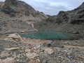
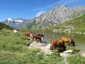
(9) Shortly after passing the Cave de la Petite Val, turn left to head up the Combe du Rateau to its lake. You’ll cross a small pass just before reaching the lake, as the water flowing from it disappears into a sinkhole. There is therefore no small stream as you head up the Combe du Rateau!
Explore the area around Lac du Rateau and look for a suitable spot to set up camp as you see fit (E).
 Visorando Member
 Moderate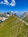
 Very difficult