Country:
 City:
City:


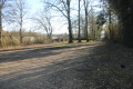
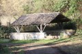
The car park is situated in the small car park at the Sources de la Sèvre Niortaise, opposite the Lavoir des Grandes Fontaines, on the right-hand side of the road leading from Pillac to Fondeboire.
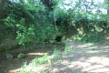
(S/E) Take the path heading east (away from the road) to visit one of the main springs of the Sèvre Niortaise.
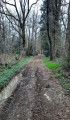
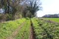
(1) Return to the road from Pillac to Fondeboire and cross it carefully (the washhouse is on your right). Continue straight ahead along the very gently ascending path heading north-west.
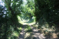
(2) At the junction, turn left onto the uphill path leading towards Pillac. Further on, carry straight on, passing a path on your left. On reaching Pillac, the path joins Rue de Bellegarde. Turn right and follow it.
(3) After a bend to the right on this street, turn off onto Rue du Champ de Pillac on the right. At the last house, the street gives way to a track. Follow this track until you reach a junction with a track coming from the left.
(4) Turn slightly to the right and, at the Y-junction, take the left-hand track which goes round the Bois du Chêne à Caïn.
(5) At the junction of five tracks, take a sharp right onto the first track on the right. At the end of the woodland, you’ll see the farmstead at La Foye on your left before reaching a junction at the edge of the Bois de la Roche.
(6) Take the small path on the left which climbs whilst running alongside the Bois de la Roche on your right. Further on, look out for the Couarde cemetery in Goux, set back to the left.
(7) At the T-junction, turn right (east) towards the Bois de Circé and its sawmill.
(8) As you approach the houses at Le Clapier, turn right just before them onto the path heading south-west. After a right-angled bend to the left, the path eventually gives way to a track leading into the Bois de la Roche. When you reach the southern edge of the woodland, turn left and continue to the Route du Bois de Circé.
(9) Cross the road carefully and continue straight ahead along the path that runs alongside the properties. Walk for about three hundred metres before turning sharply right onto a path that joins the road leading to Fondeboire.
(10) Turn left and follow the road carefully. At the entrance to Fondeboire, turn right onto Rue du Bois Bourdin.
(11) At the T-junction, opposite a small pond, turn left onto the path that winds its way between the buildings. After about three hundred metres, take the path on the right that leads downhill. This path rejoins the four-way junction you passed at the start of the route.
(2) Turn left and follow the gently sloping path leading to the Grandes Fontaines washhouse. Once there, cross the road carefully to reach the car park. (S/E)
 Visorando Member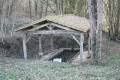
 Moderate