


 Country:
 City:
City:


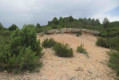
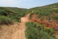
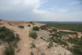
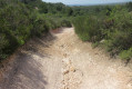
On the D9, take the Les Pinchinades exit – exit 10 if coming from Aix-en-Provence or exit 11 if coming from Vitrolles. Head towards the Les Collets Rouges equestrian centre. Park in the Magenta car park, to the left of the equestrian centre.
(S/E) Follow the signs for the DFCI track along the tarmac road heading down towards the north. After a sharp bend to the left, go through the barrier and head west. You’ll come to a Y-junction.
(1) Turn right, heading north-west, and walk past a square concrete cistern. Further on, look out for a ruin on the left. Explore the area. Turn right at a small concrete marker, onto the footpath that runs alongside the track, joining it further down at the ‘Hunting Car Park No. 13’
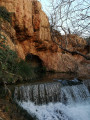
sign. Keep to the right on the track that runs alongside a stream bed. (You can take a detour to admire this dry stream.) You’ll reach an X-junction.
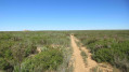
(2) Head straight on, eastwards, then keep to the left. You’ll reach the 162-metre mark and a Y-junction. Turn left and follow the wide, ochre-coloured dirt track. You’ll reach a pool (spring) at the 195-metre mark.
(3) Turn right onto the path which climbs steadily and joins a DFCI track. Head straight on towards the small concrete marker, then keep to the right 50 metres further on. You’ll reach a Y-junction with some old wooden signposts. Head left towards the ‘hunting car park no. 18’
sign. You’ll reach the top of the track at an elevation of 232, where there’s a gate and a large information board about the area.
(4) Turn right, behind the sign, to take a detour along the ridge. Join the track, turn right, then right again about 60 metres further on. You’ll reach a Fork in the road.
(5) Turn right onto the stony, then sandy path which descends steadily. You’ll reach a triangular junction (with a small patch of vegetation in the centre).
(6) Turn left, then you’ll come across the first rocks sculpted by erosion. Further on, to the left, there’s a ruin. You’ll reach a Y-junction.
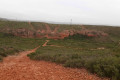
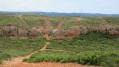
(7) Turn left, heading south. Climb a rocky mound on the left, then follow the path which branches off to the west. Note a rock painted blue below (you may be able to see it up close). You’ll reach a large, bare hillock with sand and ochre-coloured rocks. Cross it on the left.
(8) Turn right and follow the rocks. Admire the shapes of these rocks. Further down on the right, join a wide track. Turn left onto the track, heading towards a power line. Follow the path that runs alongside this power line.
(9) Leave the track and turn right. Ahead of you, you’ll see a large round cistern on the left and a small valley on the right. Stay on the path that descends into the valley, cross a stream bed, then follow the stream after a bend to the right. You’ll arrive near the Les Collets Rouges
riding centre. 20 m before the gate to this riding centre, turn right, heading north, and follow the track for about 100 m.
(10) Turn left, then climb the hill, following the path that runs alongside the riding centre’s fence. Descend on the other side, then cross a large meadow and pass through a grove of pine trees. Join a track opposite, heading west.
Follow this track which, after a left-hand bend and a homemade gate to go through, runs alongside the equestrian centre and joins the Magenta car park (S/E).

 Visorando Member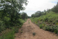

 Easy
Easy 
 Association / Club / Walk leader
 Difficult
