Country:

 City:
City:


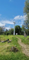
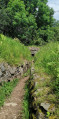
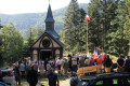
Large car park near the Hartmannswillerkopf memorial (in the commune of Wattwiller).
(S/E) From the car park, turn right before the memorial, walk past the museum and its terrace, and follow the right-hand side of the cemetery to reach the Col du Silberloch (elevation 883).
(1) Follow the Red Ring markings to the right.
(2) Head down to the right (Yellow Triangle markings). Please note that this descent is very steep, followed by an ascent which is, however, easier.
Alternative route: from here, you can head directly to the summit of the Hartmanswillerkopf (round trip) by following the Red Ring markings.
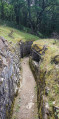
(3) At the bottom of the descent, turn left (Red Saltire markings). Walk past the Mitter Rehfelsen and arrive at a fork in the path.
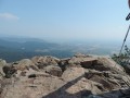
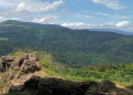
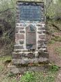
(4) Turn left (Red Rectangle with a white cross). Beautiful views over the valley. Pass the German Hunters’ Monument and the memorial to the 152nd Infantry Regiment. At the foot of the Hartmanswillerkopf summit, there is a large viewing point with unobstructed views over the Rhine Valley and, on a clear day, as far as the Black Forest. You’ll reach the cross at the summit of the Hartmanswillerkopf. There are numerous benches around the summit cross.
(5) Continue straight on towards the west and return to a junction you passed earlier.
(2) Turn right and follow the Red Ring markings to the rocky outcrop of Vieil Armand.
(6) Continue following the Red Ring markings to the Roche Sermet.
(7) Turn left and follow the Yellow Triangle markings to reach the Col du Silberloch.
(1) Head uphill, crossing the cemetery and the necropolis, before reaching the car park on the left (S/E).


 Visorando Member

 Tourist office
 Easy
Easy 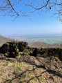
 Tourism professional