Country:

 City:
City:


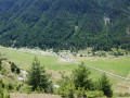
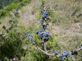
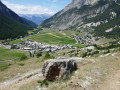
Park at the exit of the village of Ceillac on the D60 Mélezet road, in the car park of the Nordic ski centre, Place de la Chalp du Dessous.
(S/E) Take the road that climbs alongside the village, following the Cristillan stream. Pass the tennis courts, then a school. Leave a car park on your right; there are rubbish bins at its entrance.
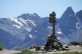
Just before you reach the bridge over the Cristillan, turn right onto the road heading south-east; at the end of this road you’ll see the campsite. You’ll soon reach the junction with the discovery trail, marked by a cross.
(1) Turn left onto this path, which runs perpendicular to the road. Here, begin an easy climb up the hill.
This path is signposted as the Gypière Eco-Discovery Trail.
Turn right at a sign providing further details and follow the path as it winds along the hillside.
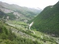
Notes: Along this path, several signs provide information on the flora, fauna and geology, particularly on gypsum and its impact on the landscape.
You’ll reach a crossroads above the hamlet of La Chalp.
(2) Leave the path leading down to the hamlet on your right and continue towards Le Pied du Mélezet. Soon the path, which until now has been almost level, climbs quite steeply in a few hairpin bends to cross a small ravine and then levels out again, running along a ridge. Leave the path on your right that descends to the hamlet of La Rua des Reynauds; a few hundred metres further on, you’ll reach the signpost marking the locality known as Le Pied du Mélezet.
(3) Ignore the ‘Le Vior’ path on your left. You can take this to shorten the walk, as it leads directly to point 6. Head down to the right towards the hamlet of Pied du Mélezet. There, turn left onto the road that climbs towards Chaurionde and the Cime du Mélezet.
(4) On leaving the hamlet of Cime du Mélezet, turn left just after an old chalet with a roof of loose wooden slates and take the path that climbs at right angles to the road. This path first crosses meadows, then woods. Follow it, continuing to climb, until you reach the forest track at the signpost indicating the hamlet of Charanchettes. Turn left onto this track, heading towards Ceillac. This track climbs very gently. You’ll reach the junction with the Sentier de Jalavez, marked by a wooden sign.
(5) Continue to the left, ignoring this path, and you will soon reach a forest track at the next junction, marked by a signpost indicating the hamlet of Coustias; this is also the end of the Vior path.
(6) Carry on straight ahead along this track, which is initially flat before beginning to descend towards a gate and then the junction marked by a post for the hamlet of Jalavez.
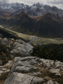
(7) Leave the track and take the path on the left; you’ll soon reach the paragliding launch site, marked by a weather vane. Continue along the path, which soon begins to descend steeply in hairpin bends through an arid landscape of gypsum. Follow a few hairpin bends, which end at a path junction.
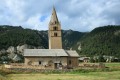
(8) Leave the path on your left that descends towards the start of the Gypière trail and the roadside cross, and take the path on your right leading up to the top of the village. Reach Ceillac via a street running alongside the Cristillan, to the left of a bridge crossing it. Walk down this street to the next bridge. Cross the bridge towards the church.
(9) At the square and fountain (church), turn left onto the street that passes in front of the post office and then the town hall. Opposite the Bar-Tabac-Presse, take the small street on the left. At the small car park, turn right at a right angle and walk past an old wash house and fountain. A little further on, take the next street on the right and, at the rubbish bins, turn left into the Grand Rue. You’ll come to a small chapel.
(10) Take the street on the left, then turn right to walk past a shopping centre and reach the D60 road. Turn left onto it to reach the cross-country skiing centre car park (S/E).

 Visorando Member
 Difficult