Country:
 City:
City:



Park in the car park in front of the MPT at Moulin Vert.
Accessible by bus: line 6, Cosquer stop.
(S/E) With your back to the Maison pour Tous, turn right onto the path that runs alongside the eco-grazing area (sheep present), go round the toilet block and continue along the Steïr. Take a new area with a table, chairs and even a deckchair. Go through a gate to go round the roundabout on the right, using the pedestrian crossings.
Turn left onto Rue de la Galva, which curves to the right to join another street, which you follow to the right. Continue to the right at the junction with another street. At a physiotherapy practice, look out for a pedestrian crossing on the left (wooden barrier) between the houses. When you emerge onto a street, keep to the left to follow the path and arrive opposite the Moulin Vert stadium. Walk alongside this ground on your right and continue straight up the street until you reach a passage between Nos. 25 and 23.
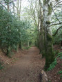
(1) Take this tarmac path, which very quickly becomes a dirt track. At the first junction, which marks the entrance to the woods, turn right. At the next junction, keep to the right and begin a descent leading down to the Ruisseau de Kermabeuzen. Follow this stream to the right until you reach a footbridge on the left.
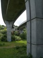
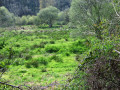
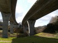
(2) Cross the stream and continue along a path that runs along the hillside heading north-west. Join a wider path and follow it down a steady descent towards the viaduct on Quimper’s north-western ring road. On your left, you can see the wetland at the bottom of the valley where the stream flows. You’ll arrive facing the viaduct.
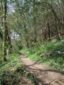
(3) Turn right and take the first path on the right, which begins a steady climb through the woods, offering a sweeping view of the valley floor and its stream. Continue this climb to a junction near the Kerlazénet residential area.
Turn left and follow the path which runs behind the houses to an imposing electricity substation, which you go round to the right. Cross the road with extreme caution (no pedestrian crossing) and head towards the D100 bypass bridge.
(4) Just before the bridge, turn right onto the farm track that runs along the top of two fields and continue straight on to cross a slope and descend to the right into a beautiful beech-lined avenue. Follow this avenue, lined with majestic protected beech trees, and at the bottom, continue along the path to the right of the street until you reach a junction.
(5) Turn left at the pedestrian crossings and continue along Rue des Sources. Between numbers 29 and 31, look out for a discreet passageway leading onto the old Locronan road; follow this to the left towards a roundabout. Cross at the pedestrian crossing and carry on straight ahead along Avenue des Prés, which leads, opposite, to the weir on the Steïr.
(6) Cross the footbridge and, at the other end, leave the path running alongside the river to turn left and begin a lovely climb up a concrete-paved path. At the top, continue along this path lined with benches, leaving the Coat Ty Dreux community gardens on your left. Head down to the right towards the footbridge, cross it and go round a small open-air theatre to reach the car park (S/E).

 Visorando Member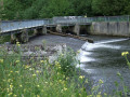

 Average