Country:

 City:
City:


Start from the centre of Saint-Étienne-du-Valdonnez, at the town hall car park.
(S/E) On leaving the car park, turn right onto the Route du Pont Rouge, passing the town hall and the school on your right. Continue to the bridge over the Bramont.
(1) Just before the bridge, take the well-marked path opposite. Stay on this path, which follows the Bramont through the forest until you reach a signpost indicating several directions, including La Fage and La Borie.
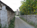
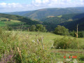
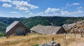
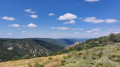
(2) Turn left onto the narrow path that descends towards La Fage. Cross the footbridge over the Bramont and head back up, following the GR®44, marked in white and red. Follow the GR® markings to the hamlet of La Fage. Lovely views of the Cham des Bondons and towards Mende unfold behind you. Walk past a few pretty, traditional houses. Note, on your left, in the garden of one of the first houses, the stone model of the hamlet’s Clocher des Tourmentes. Join the main road which crosses La Fage at the foot of the Clocher des Tourmentes, which was used to alert residents to fires or guide people lost in storms . Full explanations are available in the village bakery to the right of the bell tower.
(3) Turn left onto the GR®670, which follows the road; continue along the well-marked path, which becomes more rugged as it opens out ahead towards Bassy.
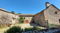
(4) Admire the pretty hamlet of Bassy, then head back down, continuing to follow the GR®670 until you return to Saint-Étienne-du-Valdonnez, where you’ll arrive in the centre opposite Saint-Étienne Church. Then turn left to return to the car park (S/E).
 Visorando Member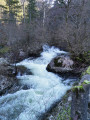

 Association / Club / Walk leader